

Houston weather: Flood Warning System map shows bayou, creek levels in Harris County
HOUSTON - The Houston area will see several rounds of heavy rain over the next few days.
The Harris County Flood Warning System allows residents to monitor stream, creek and bayou levels across the area.
SUGGESTED: Brace for rounds of heavy rain this week
The interactive map shows the current channel status – whether the level is normal, approaching the top of the bank or over the bank. It also shows rainfall measurements across the area.
The public can also sign up for alerts when stream levels reach a point where flooding is possible or likely.
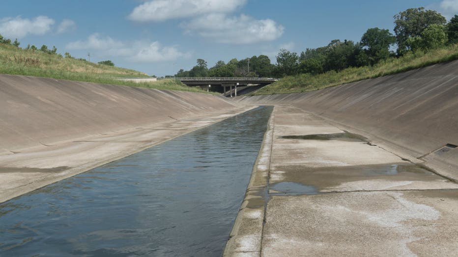
File photo. White Oak Bayou, Houston, Texas. (Photo by: Marli Miller/UCG/Universal Images Group via Getty Images)
As for street flooding, Houston Transtar compiles a list of high-water locations on Houston roadways as they pop up. Click here for updates.