

Houston weather: Showers storms possible through Monday, warmer weather on the way this week
HOUSTON - More scattered showers and storms will be possible throughout the evening on Monday in the Houston area. Then the warm weather will move in. However, we are watching an area of possible tropical development that could form in the Gulf later in the week.
SCATTERED SHOWERS AND STORMS TODAY
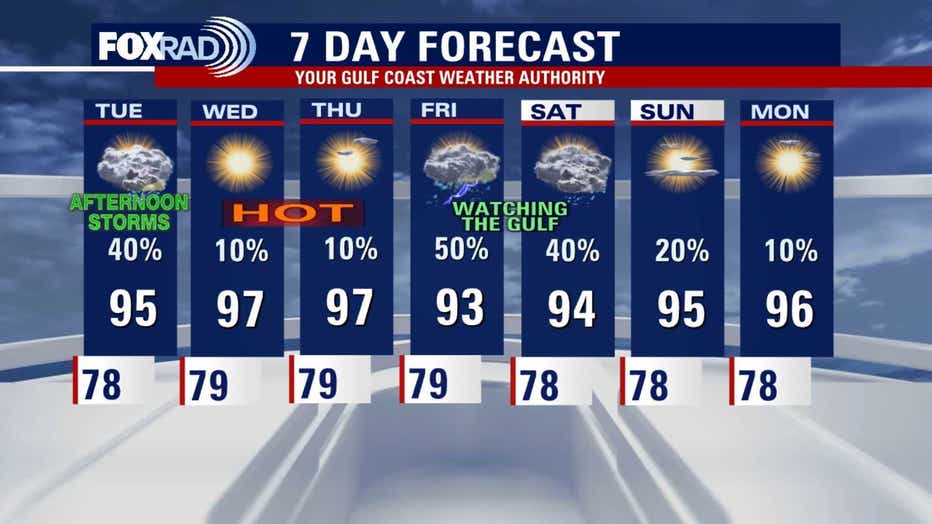
Houston will see scattered showers and thunderstorms through early evening with otherwise, very warm and humid air. Rainfall could exceed 1" in spots, so stay alert for updates. Isolated to spotty storms are possible again Tuesday. But by Wednesday and Thursday, expect mostly sunny skies and higher temperatures in the mid to upper 90s.
TEXAS HILL COUNTRY CONCERNS
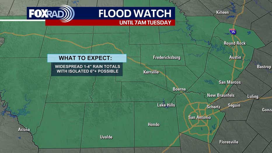
The Texas Hill Country will also experience a chance for scattered showers and thunderstorms through Monday night with a few areas possibly experiencing brief flooding. However, beginning Tuesday, the forecast shifts to mostly sunny, dry, and hot conditions through the rest of the week, with high temperatures generally in the mid-90s.
TROPICAL OUTLOOK: WATCHING THE GULF
The National Hurricane Center is monitoring a trough of low pressure located east of Florida. It is forecast to move westward across Florida today and into the northeastern Gulf of Mexico by late Tuesday. Most models show slow development of the system and a relatively weak low south of New Orleans by Wednesday and Thursday. However, the Fox Weather Model has been showing a much stronger system moving into Louisiana, so the outlook is not really clear.
On Monday evening, the NHC increased the probability of development in the Gulf to 40%.
For now, just expect the possibility for showers in the Houston area on Friday if the low gets close enough and stay tuned for updates.
The Source: Information above from your Gulf Coast Weather Authority Team.