

Houston weather forecast today: Heavy rain could cause street flooding
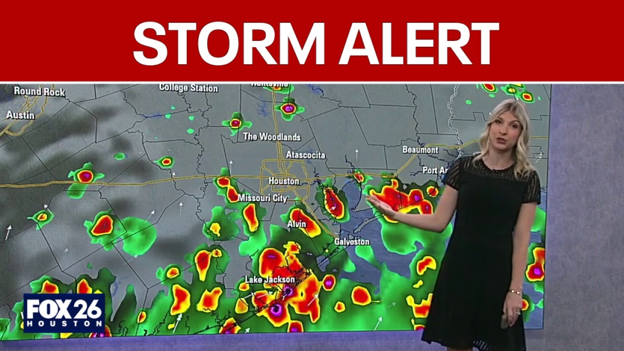
Houston weather forecast: Heavy rain could cause street flooding
Multiple rounds of heavy downpours will be moving across Southeast Texas to start the workweek. Folks around Houston should stay weather aware on Monday as street flooding will be expected for low lying and poor drainage areas.
HOUSTON - Multiple rounds of heavy downpours will be moving across Southeast Texas to start the workweek.
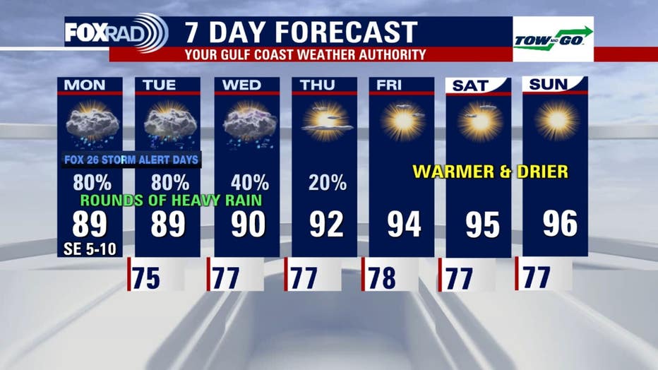
Storm Alert for Monday, Tuesday
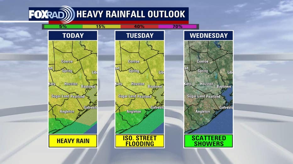
Folks around Houston should stay weather aware on Monday as street flooding will be expected for low-lying and poor drainage areas.
The flood threat continues as rounds of showers and thunderstorms move through Tuesday. Street flooding will again be possible.
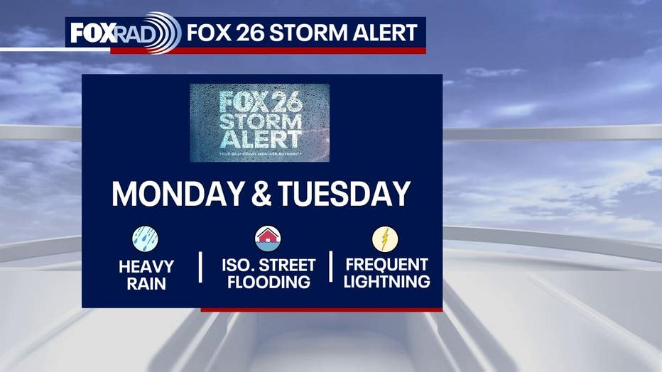
It will not be a washout of the next few days, but repeated downpours could bring localized flooding in spots. The Weather Prediction Center currently has most of the FOX 26 area in a 2/4 risk for excessive rainfall Monday and Tuesday.
Heavy rainfall likely
Deeper Gulf moisture lingers over Southeast Texas to start the week. A stalling front to our north helps pile up this rain-soaking situation for several days. So expect more clouds and higher rain chances, helping to keep the temperatures slightly below seasonal averages.
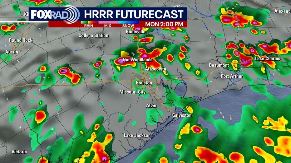
The heaviest rain on Monday will be late morning through early evening. Tuesday features a slightly earlier start.
Toward the end of the week, things start to dry out and skies clear. The mid-90s return to the forecast to start next weekend.
Tropics quiet for now
The National Hurricane Center keeps things quiet for the next 7 days across the Atlantic Ocean, Caribbean Sea and the Gulf. Some of our forecast models hint at the chance for tropical development forming off a stalled front in the northeastern Gulf, off the coast of Florida, late this weekend. We are more than a week away, so a lot can change between now and then. Download FOX LOCAL for your daily tropical updates.
The Source: The information in this article comes from the FOX 26 weather team.