

Houston weather: Flood watch in effect through Friday
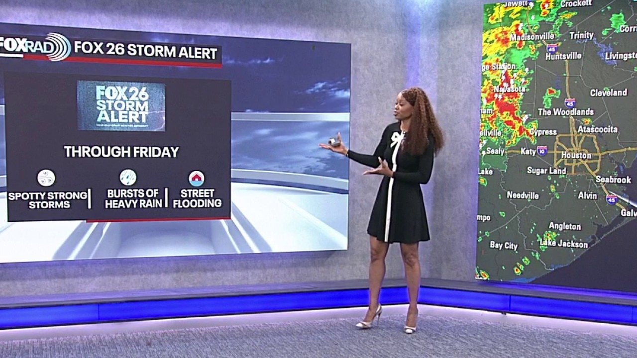
Houston weather: Friday Storm Alert as Texas storm approaches
Thursday's Texas storms mostly stayed out of Houston, but our flood risk increases Friday as the storms come in.
FOX 26 STORM ALERT AND FLOOD WATCH
HOUSTON - The risk for flooding across Houston and surrounding cities remains elevated for the next few days. We are under a FOX 26 storm alert through Friday night. Expect rounds of heavy rain that could lead to some flooded streets with the best chance west and northwest of Houston. Places like College Station, Brenham, Sealy and Columbus will likely be the hardest hit over the next 24 hours. Walker, Grimes, Montgomery, Waller, Harris, Wharton, Fort Bend & Jackson counties have been added to a Flood Watch until 7 PM Friday. Please remember to avoid any flooded areas while walking or driving.
RAIN SHIFTS EAST
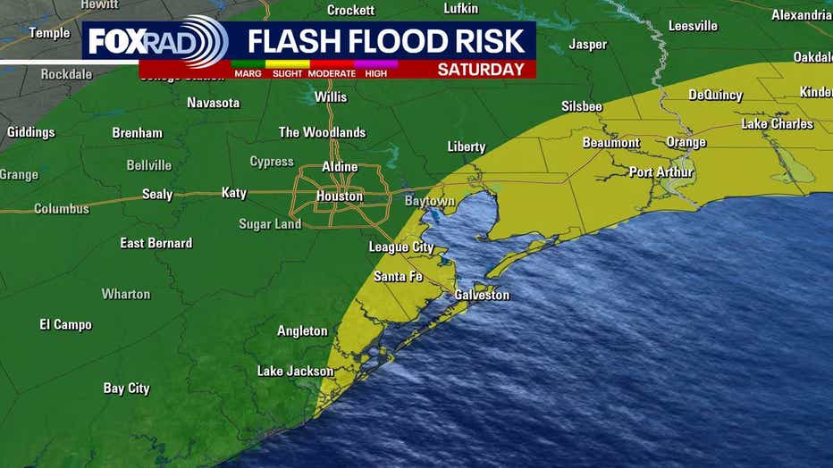
Thursday’s main heavy rain threat has remained west of Houston, while a chance for locally heavy rain continues across our area Friday. By Saturday and Sunday, the focus shifts toward the coast and areas east of Houston as the unsettled pattern continues.
SLIGHT TASTE OF FALL COMING
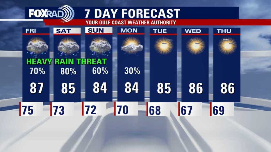
A slight taste of fall is expected to come into the SE Texas area next week. In fact, expect high temperatures to remain a little below the norm in the middle 80s, and many spots will dip to the 60s by Monday night. It's not a huge drop in temperatures, but at least we are no longer near triple digits.
The Source: Information from Your Gulf Coast Weather Authority Team.