

Houston weather: Storms possible Tuesday night, arctic blast rolling in
HOUSTON - EVENING RAIN AND STORMS FOLLOWED BY ARCTIC EXPRESS
There is a slight chance for a few strong storms Tuesday evening as a strong cold front moves through. The primary risk will be isolated hail. Some spots could also pick up one to two inches of rain, which could lead to isolated street flooding. There is a marginal, one out of four, threat for some flooding Tuesday night. Following the passage of the strong cold front, temperatures will drop from the 60s to the 30s overnight.
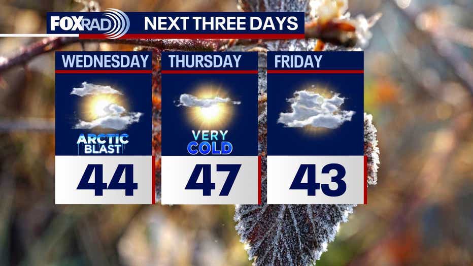
ARCTIC BLAST TONIGHT THROUGH FRIDAY
A Cold Weather Advisory is in effect from 3 a.m. - 10 a.m. Wednesday morning for communities like Huntsville, College Station, Sealy and Wharton - this warns of wind chills near 12-25°. Wind Advisory is now in effect from 9 p.m. Tuesday night until noon Wednesday for much of the area including Houston, with gusts to 35-40 mph likely.
Early Thursday will bring us the coldest air with a hard freeze possible. In fact, an Extreme Cold Watch is in place for much of the area, including Houston & The Woodlands. Wind chills could drop to near 10°! Actual air temperatures will be cold enough to protect the "four p's", including covering your plants, keeping pets warm & dry, wearing extra layers & insulating pipes.
VERY CHILLY THROUGH FRIDAY
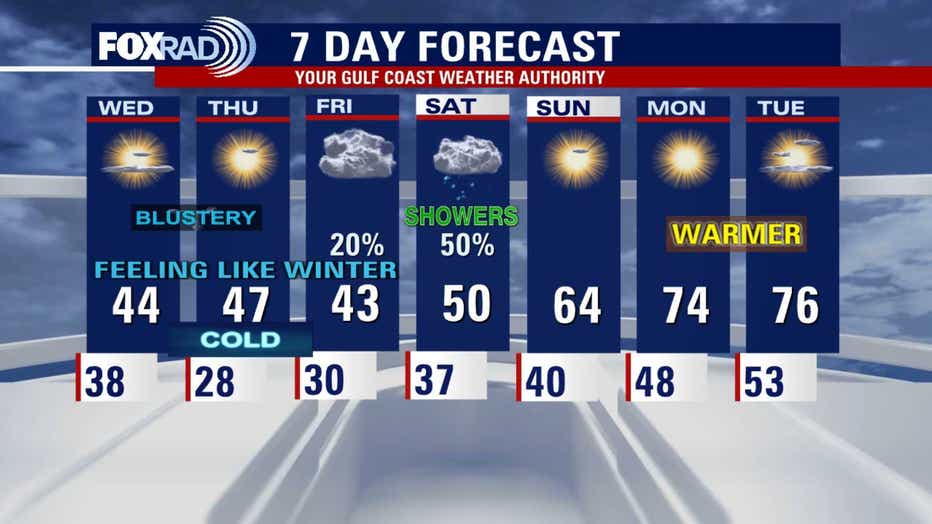
Daily high temps will only reach the 40s tomorrow through Friday and Friday morning could bring another light freeze. Showers could return by late Friday as well with more widespread rain likely on Saturday.
MUCH WARMER NEXT WEEK
Beginning Sunday, highs will return to the 60s and by Monday our highs should return well into the 70s and some low 80s will be possible next week.
The Source: Information provided by the FOX 26 Gulf Coast Weather Authority team.