

Houston weather: Heavy Sunday downpours bring flood threat before cooler, drier air arrives midweek
Houston weather: Oct. 4 morning forecast
Heavy Sunday downpours along the coast give way to cooler, drier air midweek. Forecasters are eyeing possible tropical development in the SW Gulf.
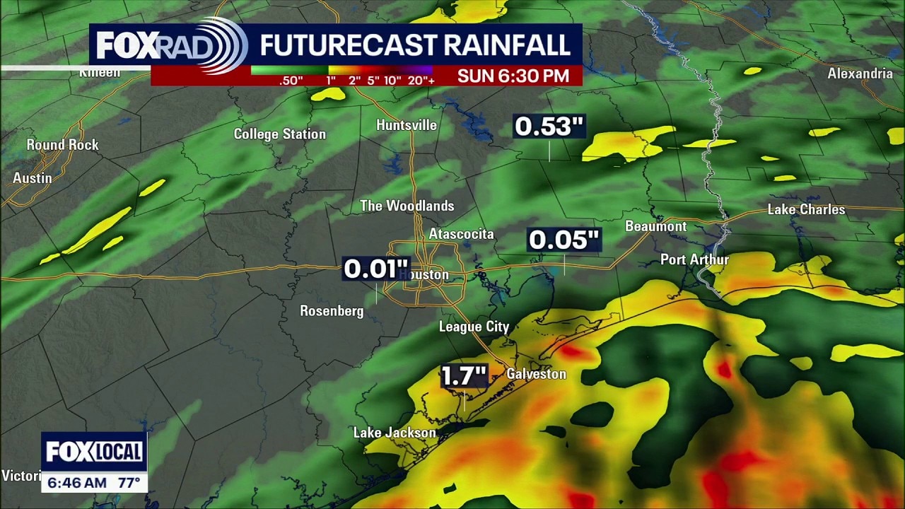
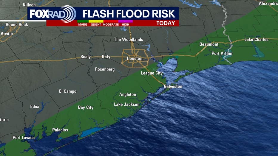
HOUSTON - The threat for heavy rain continues through Sunday evening as a stalled front slowly moves offshore. Some storms could produce heavy rain, mainly along the coast and south of I-10.

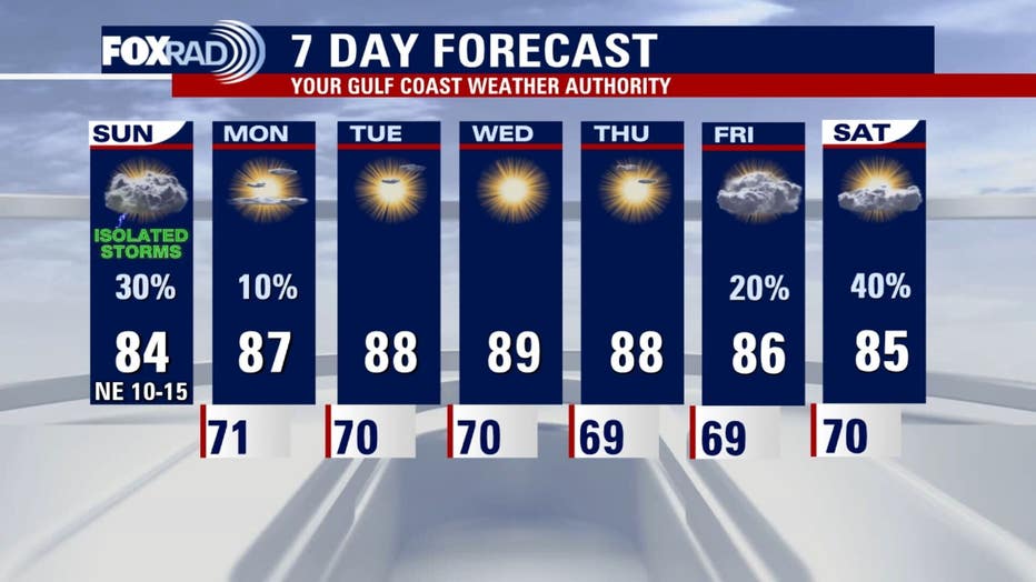
The unsettled pattern will finally begin to ease early to midweek as a slow-moving front moves through. Slightly cooler and drier weather should follow, bringing a welcome break from the persistent rain. Wake-up temperatures will likely be in the upper 60s to low 70s.
We are monitoring an area of low pressure that could develop in the southwestern Gulf by midweek. Waters are very warm in the gulf and there isn't much wind shear. These factors could lead to development that could move north.
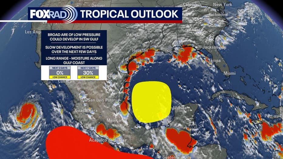
We are expecting some higher rain chances along the gulf coast by the end of the week/ next weekend. Nothing has even formed at this point, so we will watch the models closely.
7-Day Forecast
The Source: Information in this article is from the FOX 26 Houston weather team.