

National Cat Day and end of Daylight Saving
Mike Iscovitz and John Dawson are talking National Cat Day and early voting weather! Plus, how people can adjust to the upcoming time change for the end of Daylight Saving!
Mike Iscovitz and John Dawson are talking National Cat Day and early voting weather! Plus, how people can adjust to the upcoming time change for the end of Daylight Saving!

Daily Halloween forecast for Oct. 29, 2024
FOX 26 Chief Meteorologist Mike Iscovitz has your daily forecast ahead of Halloween!
FOX 26 Chief Meteorologist Mike Iscovitz has your daily forecast ahead of Halloween!


Houston weather forecast for Oct. 29; Halloween rain chances
Storms are looking likely in the futurecast for tomorrow and Halloween. Most likely, we'll see off and on showers for the weekend and beginning of next week.
Storms are looking likely in the futurecast for tomorrow and Halloween. Most likely, we'll see off and on showers for the weekend and beginning of next week.

FOX 26 Houston weather: Oct. 29 forecast
Muggy this morning, then warm and breezy with a few showers possible. Highs in the upper 80s.
Muggy this morning, then warm and breezy with a few showers possible. Highs in the upper 80s.

FOX 26 Houston Weather Forecast
Near record heat will stick around for Tuesday as wind increases out of the south and brings in more moisture. Rain chances remain low Tuesday but really pick up Wednesday and Thursday. An approaching front will bring rain and a few strong storms Wednesday with more heavy downpours possible Thursday afternoon and evening. This is bad timing because a lot of trick-or-treat plans may be impacted. Rain could be heavy, especially between 4-8 pm Thursday. Scattered showers stick around through the weekend with temperatures a bit less hot. Download FOX Local for your smart tv and phone for the latest weather where you live and detailed update on the tropics!
Near record heat will stick around for Tuesday as wind increases out of the south and brings in more moisture. Rain chances remain low Tuesday but really pick up Wednesday and Thursday. An approaching front will bring rain and a few strong storms Wednesday with more heavy downpours possible Thursday afternoon and evening. This is bad timing because a lot of trick-or-treat plans may be impacted. Rain could be heavy, especially between 4-8 pm Thursday. Scattered showers stick around through the weekend with temperatures a bit less hot. Download FOX Local for your smart tv and phone for the latest weather where you live and detailed update on the tropics!


Beloved 'Rainbow Bridge' in North Carolina honors lost pets washed away by Helene
The area was slammed by about 22.5 inches of rain from Helene during Sept. 24-28.
The area was slammed by about 22.5 inches of rain from Helene during Sept. 24-28.

Watching for possible development in the Caribbean | FOX 26 Tropical Weather Update
We are a few days away from the final month of the 2024 hurricane season. Chances of a hurricane hitting Houston this late in the season are extremely low. However, there's still a chance for tropical development this week in the Caribbean. Models are giving a disturbance in the SW Caribbean a Medium 40% chance of tropical development over the next 7 days. So we could have tropical storm or hurricane Patty by this weekend in the central Caribbean. The rest of the Atlantic basin remains super quiet for now and hurricane season runs through November 30th.
We are a few days away from the final month of the 2024 hurricane season. Chances of a hurricane hitting Houston this late in the season are extremely low. However, there's still a chance for tropical development this week in the Caribbean. Models are giving a disturbance in the SW Caribbean a Medium 40% chance of tropical development over the next 7 days. So we could have tropical storm or hurricane Patty by this weekend in the central Caribbean. The rest of the Atlantic basin remains super quiet for now and hurricane season runs through November 30th.
Tropical troubles, a debris mountain and a soggy Halloween
Join FOX 26 Meteorologist Mike Iscovitz for all things weather on this edition of "Monday's With Mike."
Join FOX 26 Meteorologist Mike Iscovitz for all things weather on this edition of "Monday's With Mike."

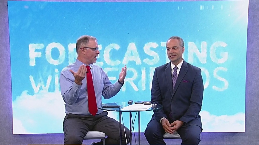
Planning ahead for Halloween | Forecasting With Friends
Join the FOX 26 Weather Team as we talk all things weather on Forecasting with Friends.
Join the FOX 26 Weather Team as we talk all things weather on Forecasting with Friends.


Houston Halloween forecast: Rain could return Wednesday through weekend
Oh no! After a dry October with zero rain, storms could return for Halloween.
Oh no! After a dry October with zero rain, storms could return for Halloween.

Hurricane Gear Test: Quick Dam Flood Bags & Barriers
In this Hurricane Gear Test, FOX 26 Meteorologist John Dawson shows us an alternative to the traditional sandbag.
In this Hurricane Gear Test, FOX 26 Meteorologist John Dawson shows us an alternative to the traditional sandbag.

FOX 26 Houston weather: Oct. 28 forecast
Humid this morning with patchy fog, then warm and breezy with highs in the upper 80s.
Humid this morning with patchy fog, then warm and breezy with highs in the upper 80s.

FOX 26 Houston Weather Forecast
Near record high afternoon temperatures again on Sunday. Forecast highs will reach near 90 degrees with mostly clear skies to start the week. A cold front will crawl across Texas but not make it all the way to Houston. Southeast Texas can expect an increase in winds early in the week ahead of showers or storms on Halloween.
Near record high afternoon temperatures again on Sunday. Forecast highs will reach near 90 degrees with mostly clear skies to start the week. A cold front will crawl across Texas but not make it all the way to Houston. Southeast Texas can expect an increase in winds early in the week ahead of showers or storms on Halloween.

Tropical weather update: Kristy no longer tropical system; watching the Atlantic
Kristy is no longer a tropical system in the Eastern Pacific. In the Atlantic, a broad area of low pressure is likely to develop over the southwestern Caribbean Sea in a few days. This will probably become the next named storm and drift northward or northeastward over the southwestern and south-central Caribbean Sea.
Kristy is no longer a tropical system in the Eastern Pacific. In the Atlantic, a broad area of low pressure is likely to develop over the southwestern Caribbean Sea in a few days. This will probably become the next named storm and drift northward or northeastward over the southwestern and south-central Caribbean Sea.

Hallo-weekend weather forecast for Oct. 27
FOX 26's Allison Gargaro has a look at the forecast for today's trunk-or-treat events and a look ahead at Halloween weather.
FOX 26's Allison Gargaro has a look at the forecast for today's trunk-or-treat events and a look ahead at Halloween weather.

FOX 26 Houston weather: Oct. 27 forecast
Temperatures remain warm in Houston on this Sunday. Forecast highs will reach near 90 degrees with mostly clear skies. SE Texas can expect an increase in winds early this week ahead of shower chances on Halloween. Download the free FOX Local app for a daily update on your trick-or-treating forecast.
Temperatures remain warm in Houston on this Sunday. Forecast highs will reach near 90 degrees with mostly clear skies. SE Texas can expect an increase in winds early this week ahead of shower chances on Halloween. Download the free FOX Local app for a daily update on your trick-or-treating forecast.


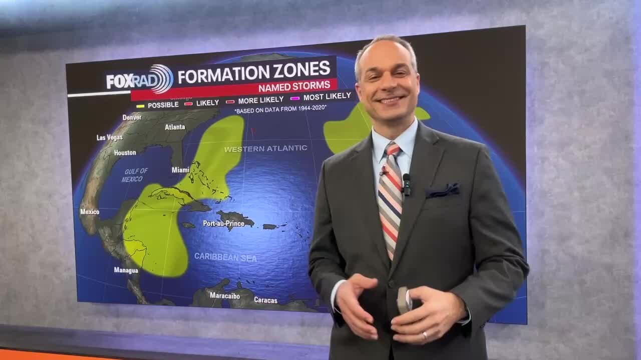
Could Tropical Storm Patty develop in Caribbean Sea after Halloween?
The next storm to receive a name in the Atlantic Basin – which includes the Caribbean and Gulf of Mexico – will be called Patty.
The next storm to receive a name in the Atlantic Basin – which includes the Caribbean and Gulf of Mexico – will be called Patty.

Kristy weakens in Eastern Pacific, Atlantic quiet
Kristy has started to weaken in the Eastern Pacific. This persistent system mostly likely will not make it through the weekend. The Atlantic basin is quiet for now but something developing in the Caribbean should still be watched for next week.
Kristy has started to weaken in the Eastern Pacific. This persistent system mostly likely will not make it through the weekend. The Atlantic basin is quiet for now but something developing in the Caribbean should still be watched for next week.

Hallo-weekend weather forecast for Oct. 26
FOX 26 Meteorologist Allison Gargaro gives a Halloween weather forecast for October 26!
FOX 26 Meteorologist Allison Gargaro gives a Halloween weather forecast for October 26!

FOX 26 Houston Weather Forecast
Southeast Texas is waking up to patchy fog and some cities are under a Dense Fog Advisory until 10 a.m. Once the fog clears, the sun will be shining bright and temperatures could reach record highs once again. Houston stays above seasonal through the extended forecast. A rise in winds and humidity returns next week. Shower chances are in the forecast beginning on Wednesday and continuing into Halloween. Head over to the FOX Local app on your smartphone for a daily Halloween forecast update. It is free to download.
Southeast Texas is waking up to patchy fog and some cities are under a Dense Fog Advisory until 10 a.m. Once the fog clears, the sun will be shining bright and temperatures could reach record highs once again. Houston stays above seasonal through the extended forecast. A rise in winds and humidity returns next week. Shower chances are in the forecast beginning on Wednesday and continuing into Halloween. Head over to the FOX Local app on your smartphone for a daily Halloween forecast update. It is free to download.