

Houston weather: Hot Tuesday, isolated late-day storms possible

Houston weather forecast for May 20
Hot again with near record highs. Isolated afternoon storms are possible. Highs in the mid 90s.
HOUSTON - A front will move in to the area this afternoon and will bring a shift in our winds and should spark a few storms.
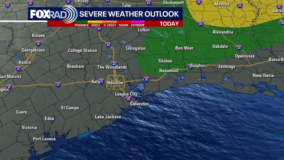
The highest chance for stronger storms will be east and northeast of Houston, but an isolated storms is possible across the area.
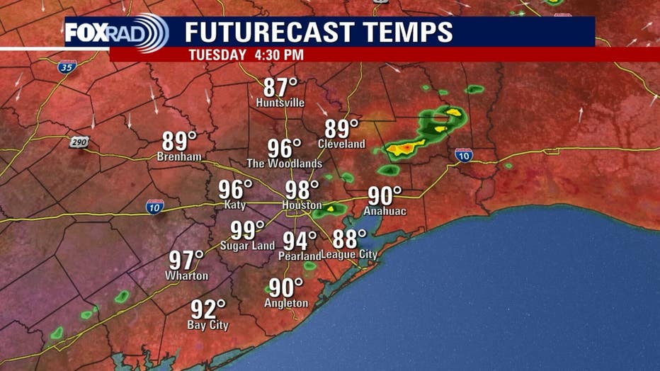
We don't expect a wide coverage of rain, so the story of the day will remain record heat. Today's record high is 95 and we'll likely reach 97 or so.
Slightly cooler by Wednesday morning
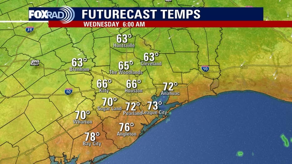
The aforementioned front will bring a brief appearance of drier air, so overnight low temperatures could fall into the upper 60s and low 70s, so roughly 10-12 degrees cooler than the last few mornings. Enjoy that while it lasts.
Heat wave not going away
Daily high temperatures will still reach the low to mid 90s through Saturday which put us with a degree or two of record highs.
Memorial Day storms possible
It's a bit early to have high confidence in exact timing, but conditions look favorable for downpours on either Memorial Day Monday or possibly Tuesday next week, so stay weather aware and check in for updates on FOX LOCAL.
The Source: The information in this article comes from the FOX 26 weather team.