

High flood risk across parts of Texas this week: Forecast
High flood risk across parts of Texas this week: Forecast
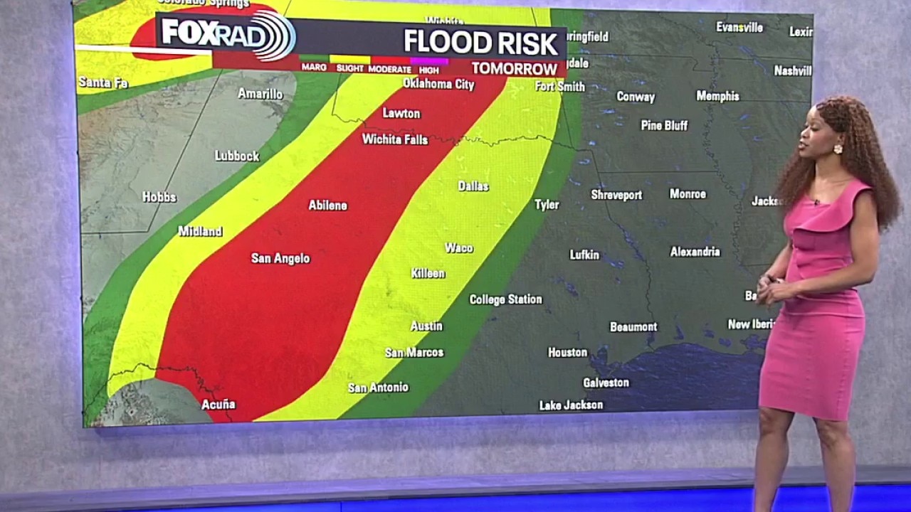
The greatest flooding risk this week will extend across parts of Texas, especially the Hill Country and the I-35 corridor from San Antonio and Austin toward Dallas. Several rounds of heavy rain could produce flash flooding, with additional impacts possible across North Texas and the Houston area.
HOUSTON - Scattered showers and thunderstorms become more likely Wednesday as deeper Gulf moisture moves in and a slow-moving disturbance approaches.
The best chance for heavy rain Wednesday will be west of Houston. Rain chances will remain elevated through the end of the week.
Texas flooding threat
The greatest flooding risk this week will extend across parts of Texas, especially the Hill Country and the I-35 corridor from San Antonio and Austin toward Dallas.
Several rounds of heavy rain could produce flash flooding, with additional impacts possible across North Texas and the Houston area.
Tracking Hanna and Fay
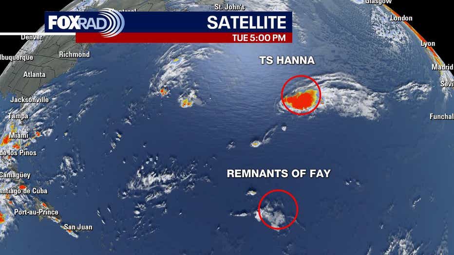
We started off with two tropical systems this morning being monitored in the middle of the Atlantic. Fay has weakened and is no longer a tropical system.
Tropical Storm Hanna is expected to weaken and fall apart over the next couple of days in the central Atlantic and not impact land. Hurricane season runs through the end of November.
The Source: The information in this article comes from the FOX 26 weather team.