

Houston weather forecast: Isolated to scattered late-day storms possible
HOUSTON - The wet weather pattern for Houston is moving out, but some late-day storms will still be possible.
Houston weather: Wet weather pattern moving out
FEWER STORMS, SUMMER HEAT
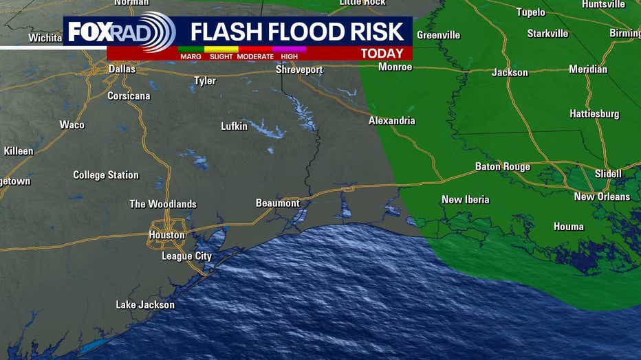
After yet another day of flood advisories and up to 2.5" of rain, today has been a bit closer to normal June weather with isolated storms and highs in the low to mid 90s. Now, some of the heavier storms could still produce a lot of lightning and brief heavy rain, but the overall coverage should be lower. Daily heat index values will exceed 100 and could reach 103-105 during the early afternoon hours through the weekend.
CHANCE FOR JUNETEENTH AND WEEKEND SHOWERS
With isolated to scattered storms in the forecast each day, just be prepared to run inside briefly while these storms pass. Otherwise, plan on hot and humid weather to remain the story for the holiday on Thursday as well as Friday and the weekend.
QUIET IN THE ATLANTIC, STORM IMPACTS MEXICO
Tropical Storm Erick has formed south of Mexico in the Pacific Ocean. This is the 5th storm of their season and could be the first to make landfall. The Acapulco area will get some heavy downpours and gusty winds from the system later this week. So far, still looks quiet for the Gulf and Caribbean.

Tropical Weather Forecast - Tropical Storm Erick forms in Pacific, Atlantic remains quiet
Tropical Storm Erick has formed south of Mexico in the Pacific Ocean. This is the 5th storm in the Eastern Pacific this season and will likely be the first to make landfall. The Acapulco region will get some heavy downpours and gusty winds from the system later this week. So far, it still looks quiet for the Gulf and Caribbean.
The Source: Information above from your Gulf Coast Weather Authority Team.