

Disturbance in Gulf of Mexico now at 0% risk of formation
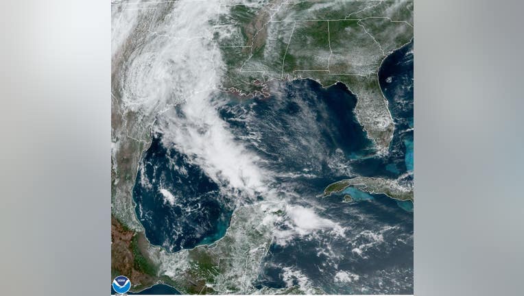
Photo from GOES-16 satellite showing the Gulf of Mexico on Saturday. (Source: NOAA)
HOUSTON - UPDATE: The risk of formation for a system in the Gulf of Mexico has dropped to 0% as the area of low pressure has moved inland.
As a result, the National Hurricane Center said tropical cyclone formation is not expected.
However, heavy rainfall over portions of southeastern Texas and southwestern Louisiana will be possible on Saturday.
You can stay up to date with the latest occurring in the tropics by downloading the free FOX 26 Weather App.
----------------------
Rain chances are running on the high side for the next couple of days as we watch an area of low pressure in the western Gulf move toward the Texas coastline.
The National Hurricane Center is giving this low in the Gulf a 50% risk of becoming a depression before making landfall later tonight near Corpus Christi.
It's possible we'll see a tropical depression or short-lived tropical storm develop before this moves inland.
It will likely have minimal impact on Southeast Texas and the Houston area.
The best opportunity at seeing rain in the Houston area will be this evening and overnight, lingering into Saturday. Sunday could also start off with scattered rain, but by the afternoon we should dry out. Highs each day will reach the upper 70s and low 80s.
The FOX 26 Weather Team is tracking the system and it will likely bring more rainfall to southeast Texas, but not as intense as the past few days in the Houston area.
You can stay up to date with the latest occurring in the tropics by downloading the free FOX 26 Weather App.
The FOX 26 Weather Team will keep you up-to-date with the latest on the tropics as new advisories are issued by the National Hurricane Center.