Houston weather: Pleasant conditions through next week

Houston weather: Sept. 27 evening forecast
Weather in the Houston area continues to be sunny and dry thanks to the front that moved through on Thursday.
Refreshing mornings, afternoons still warm
HOUSTON - Weather in the Houston area continues to be sunny and dry thanks to the front that moved through on Thursday.
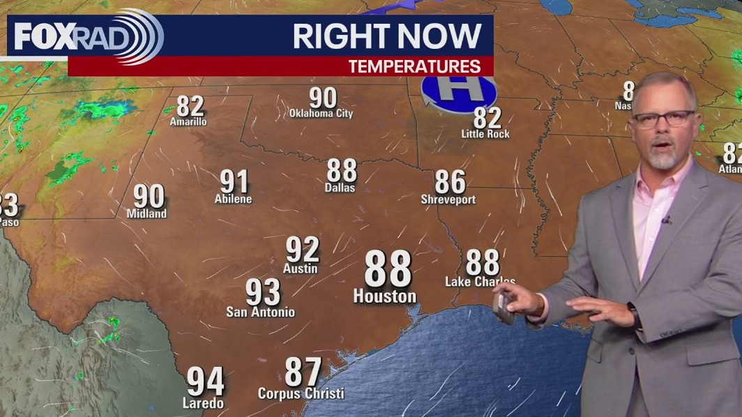
Early mornings will dip into the 60s inland, with coastal areas staying slightly warmer. By afternoon, highs should top out near 90, but with lower humidity making things feel nice and comfortable.
Lower humidity values decrease our chances of spotty scattered showers.

Similar weather continues for a week
Dry and pleasant conditions are expected to persist through the weekend and most of next week.
Nights will remain clear and pleasant inland while daytime highs should stay in the upper 80s and low 90s.
The only issue will be the chance of ozone air pollution through the weekend and possibly into the start of next week. This phenomenon is very common on sunny days with light winds. It is mainly a concern for people with very sensitive lungs.
Tropics quiet for Gulf, active in the Atlantic
There are currently no tropical threats expected for the Gulf in the near term, but in the Atlantic, it's a much different story.

Tropical Weather Update - Sept. 27, 2025
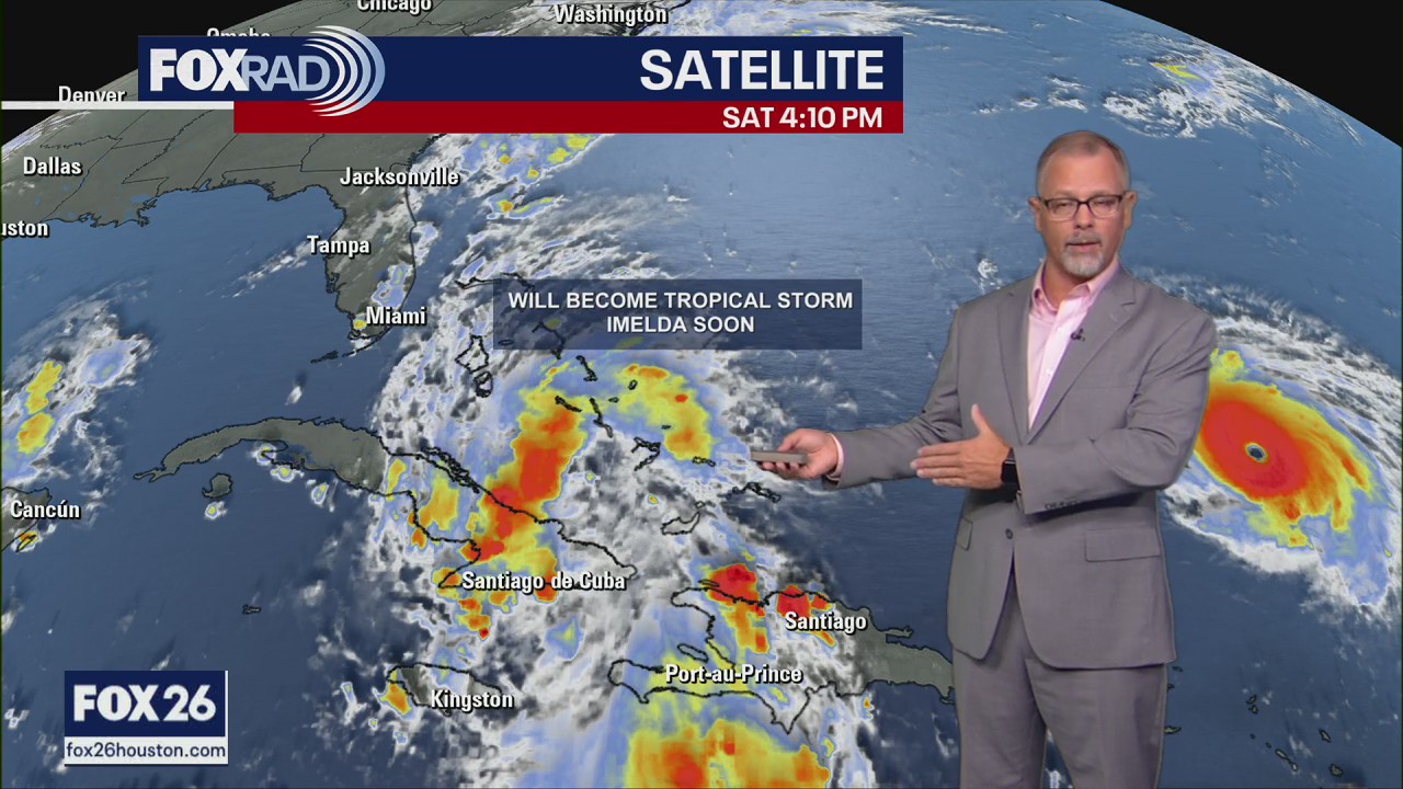
Hurricane Humberto continues to strengthen and has become the third major hurricane of the season. It is currently a Cat 5 with 160mph maximum sustained winds. Nine is now a Tropical Depression and will soon become a Tropical Storm and be named Imelda. Our models (including the GFS, Euro and Fox Weather Model) show that it will near the Southeast Coast of the US this week.
Hurricane Humberto is strengthening in the Atlantic and has become the third major hurricane of the season.
Tropical Depression Nine formed Saturday near Cuba & will soon become Tropical Storm Imelda. Our models (including the GFS, Euro and Fox Weather Model) show that it should near the Southeast US with impacts on Florida, Georgia, and Carolinas. Some uncertainty remains as where this system stalls and when it starts heading out to the open waters of the Atlantic. Nonetheless, flooding is a major concern and other impacts will depend on the track and speed of Imelda.
As of Saturday afternoon, tropical storm watches are in place for parts of the east coast of Florida.
The Source: Your Gulf Coast Weather Authority

