

Houston weather: Drier Memorial Day forecast; rain chances rise midweek
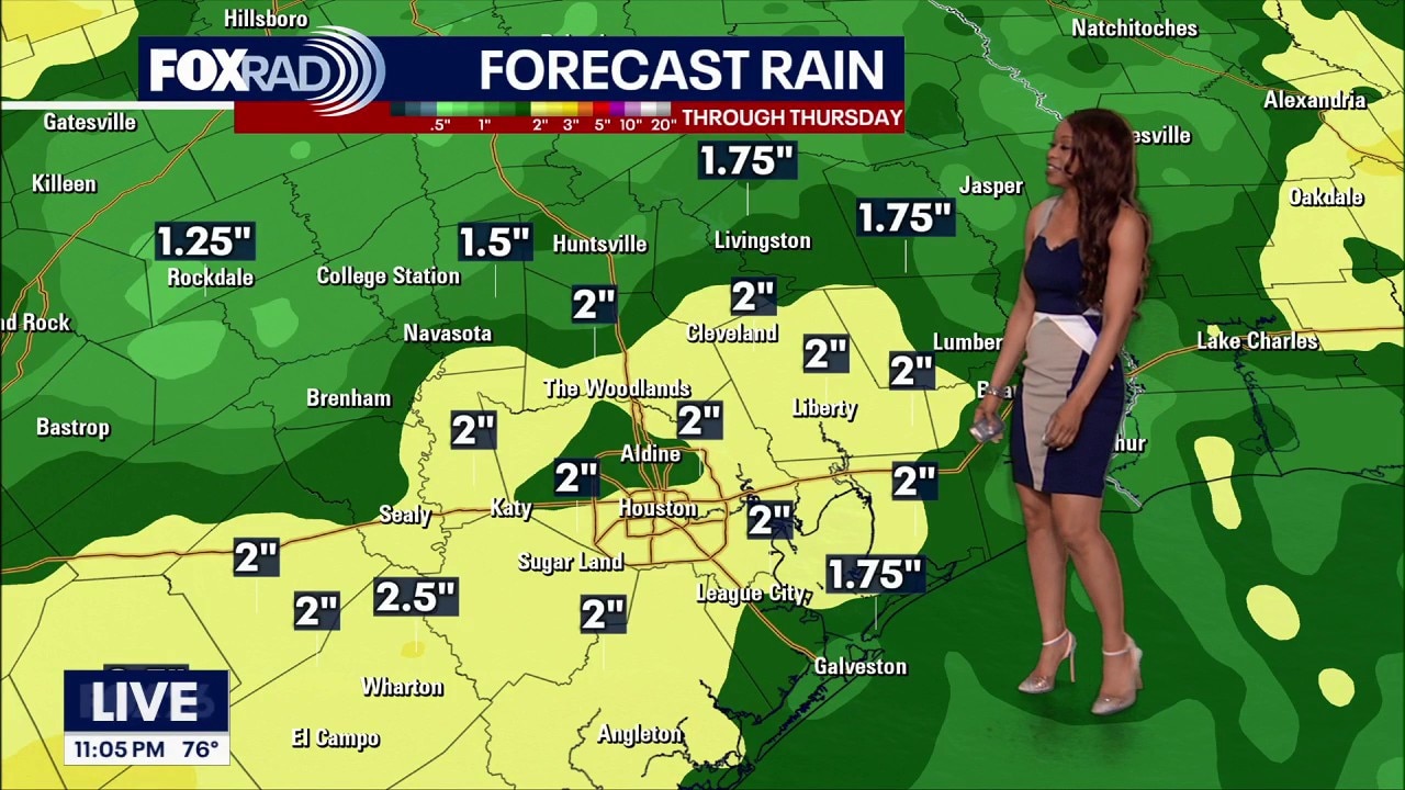
Houston weather: May 24 overnight forecast
FOX 26's Remeisha Shade breaks down the forecasted rain and severe weather expected for much of Memorial Day week.
HOUSTON - The National Weather Service decided to end the flood watch early since the models are trending drier for the rest of today and Memorial Day. However, watch out for a few pop-up storms through this evening and Monday afternoon and evening, especially near the coast.
Memorial Day: Better for outdoor plans
It was a very busy Saturday across Southeast Texas with several rounds of heavy rain and frequent lightning.
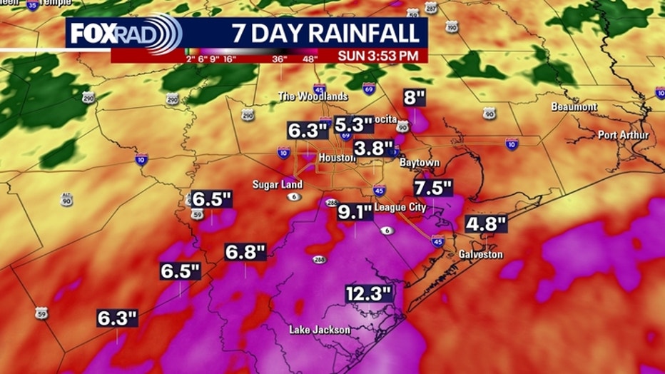
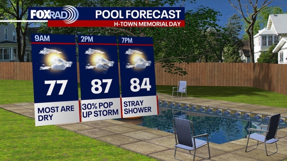
Rain chances have dropped to 30% for the rest of today and Monday. Just isolated showers and storms are likely during the afternoon and evening hours.
Overall it will be partly cloudy with warm and humid conditions. Still remember to head indoors and away from lakes, beaches and pools if there's lightning.
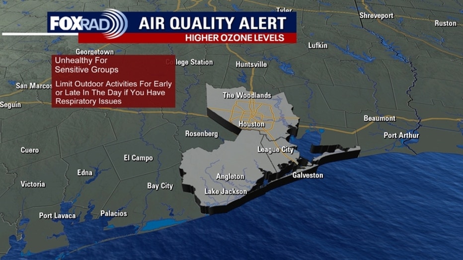
An air quality alert has also been issued for Memorial Day due to slightly higher ozone levels. If you have respiratory issues, try to limit your amount of time outside during the hottest part of the day.
Rain, flood threat returns Wednesday
We are keeping an eye on our next round of heavy rain and thunderstorm development in Southeast Texas. We will see a plume of moisture moving east across Texas late Tuesday night and Wednesday.
We will see an increase in shower coverage Wednesday morning through the afternoon. There is a 2 out of 4 risk of street flooding across the region.
As we get closer, we will have a better idea about timing and intensity.
Download FOX Local to stay up-to-date.
The Source: Your Gulf Coast Weather Authority