

Houston: Scorching heat, slight storm chances before new week's increase
Houston weather: July 5 morning forecast
Sunday brings near-100-degree heat and a triple-digit heat index to the Houston area before rain chances expand and tracking south toward I-10 on Monday.
HOUSTON - The Fourth may be over but the heat and humidity remains!
Hot end to the weekend
Highs soar to the mid/upper 90s with heat index values over 106 to end the holiday weekend. It is a muggy day all day, so be safe in the heat.
Most of us stay dry, but a few afternoon storms may pop up with brief downpours and lightning. Keep an eye on the radar if you’re heading outdoors for activities, and that includes FIFA fan fest, which opens at 1:30pm this afternoon.

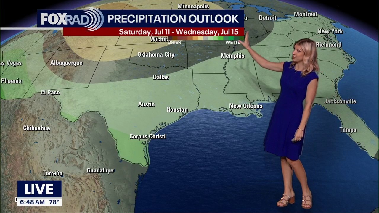
Rain chances increase
A wetter pattern develops early next week as deeper Gulf moisture moves in.
Scattered showers and storms become more likely Monday and Tuesday, bringing higher rain coverage across Southeast Texas.

It won't be a complete washout of a day, but when you hear thunder roar, head indoors.
Temperatures remain in the 90s all week.

Tropics stay quiet
Thanks to Saharan Dust, the tropical Atlantic, Caribbean Sea and the Gulf have calm skies.
At the look of things now, we should stay free of any tropical development for at least the next seven days.

As always, we will be keeping close watch on the tropics and will let you know if anything changes on FOX LOCAL.
The Source: Your Gulf Coast Weather Authority