

Houston weather: Small cooldown from spotty rain
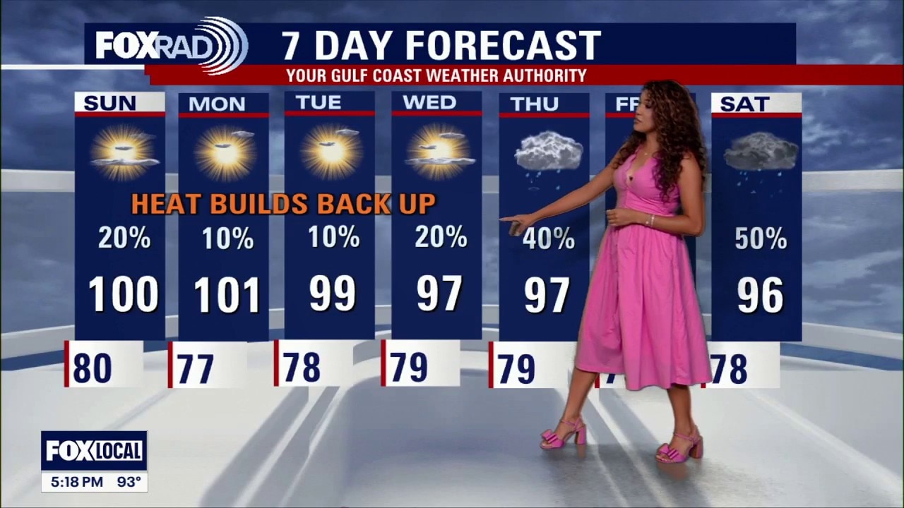
Houston weather: August 1 evening forecast
Saturday's storm chances were slim, but it did bring a slight cooldown for some.
HOUSTON - We're still in the dog days of summer, but Saturday's small rain changes brought a little bit of relief.
Slight storms this weekend
A weak summer front moved into Southeast Texas, bringing a better chance for isolated to spotty showers and thunderstorms Saturday and Sunday.
Not everyone will get rain, but a few storms could provide temporary relief from the heat. The best chance for heavy rain & a few storms will be north and west of I-10.
Still hot, but a little more tolerable
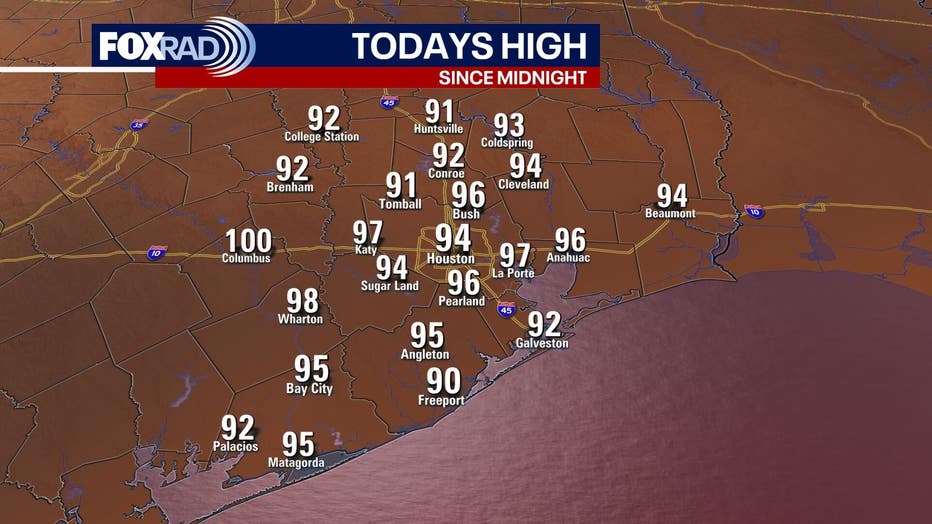
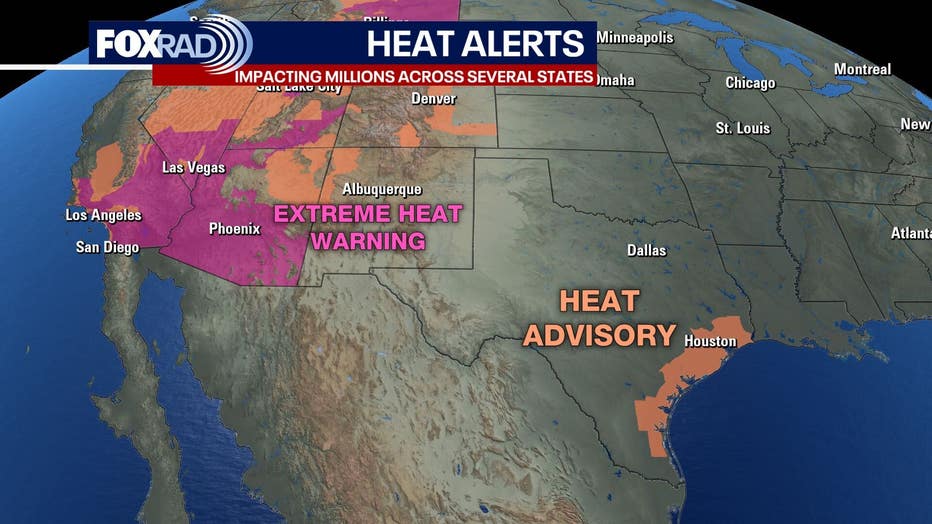
A Heat Advisory was in effect on Saturday from 1-7pm. This meant that despite air temperatures reading from the low to mid 90s, heat index values ranged from 107 to 112 degrees.
After this summertime front rolls through southeast Texas, the humidity could get lower for some as we progress through the weekend. Dew points could fall into the 50s for some spots north of Houston which will provide a nice, refreshing feel compared to the typical sticky, steamy air of the summer.
The ‘cool down’ won't stay for long, as the triple digit heat returns Monday.
No tropical trouble
The Atlantic basin remains quiet, with no immediate tropical threats to Houston or the Gulf Coast.
Historically, the month of August usually results in an increase of tropical activity in the atlantic, so keep checking back.
The Source: Your Gulf Coast Weather Authority