

Houston weather: More storms, flood risk for Saturday
HOUSTON - It's another day and another round of storms for Greater Houston.
Another soaking setup today
More scattered showers and storms are expected across Southeast Texas by this afternoon, and some could produce heavy rain in a short amount of time.
The strongest downpours may lead to quick street flooding, especially in spots that have already picked up several inches of rain this week.
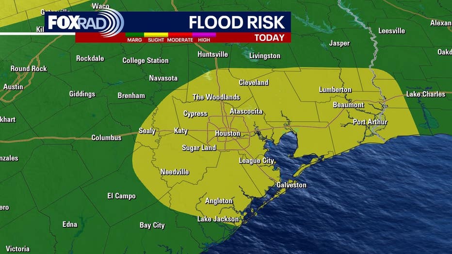
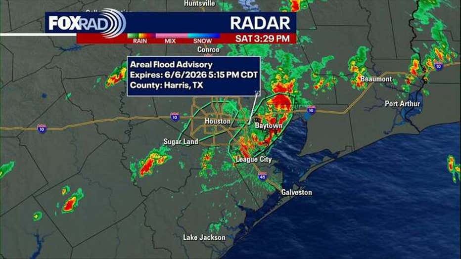
A Flood Advisory is in effect until 4 p.m. Saturday for parts of Harris and Fort Bend Counties. The National Weather Service (NWS) has detected 1–2" of rain in the area already, and they're expecting an additional 1–3".
Another advisory has been issued until 5:15 p.m. or another part of Harris County as well as parts of Brazoria, Chambers, Galveston, and Liberty Counties. The NWS has recorded up to two inches have fallen in the area, and another 1–3" is expected.
Rain chances start to back down
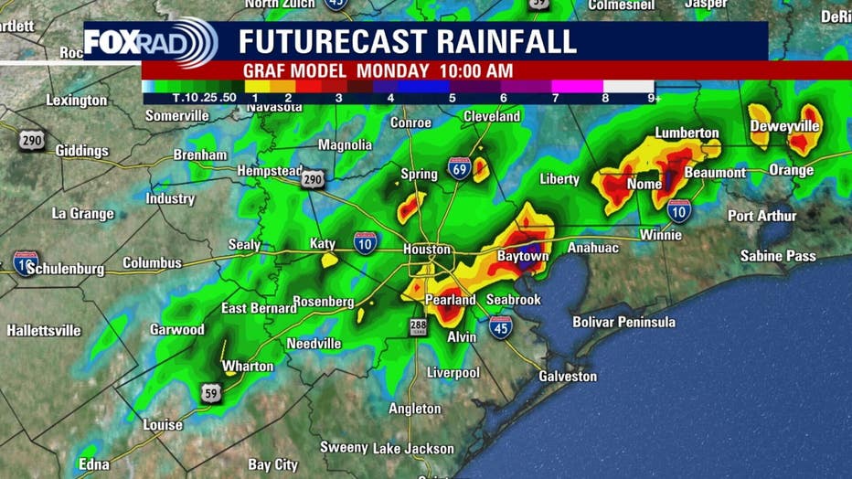
The unsettled pattern lingers into Sunday, but storm coverage should begin to drop as warmer air builds back in.
A few showers or storms will still be possible, but more dry breaks should allow temperatures to climb closer to 90.
Summer heat returns next week
Hot and humid weather takes over for much of next week as Houston gets ready for World Cup events.
Highs should return to the low 90s with steamy afternoons, warm mornings, and only isolated storm chances.
The Source: Your Gulf Coast Weather Authority