

Houston weather: Brief cooldown after spotty Saturday rain
Houston weather: Feb. 20 evening forecast
Watch out for more fog, especially near and south of I-10 late tonight & early Saturday where a Dense Fog Advisory is in effect.
HOUSTON - Watch out for more fog, especially near and south of I-10 late tonight & early Saturday where a Dense Fog Advisory is in effect.
Spring-like warmth continues
Warm weather continues through Saturday afternoon, with temperatures running 10 to 15 degrees above average. Highs will likely reach near 80 with partly to mostly cloudy skies.
We are also tracking a chance for light passing showers with high humidity.

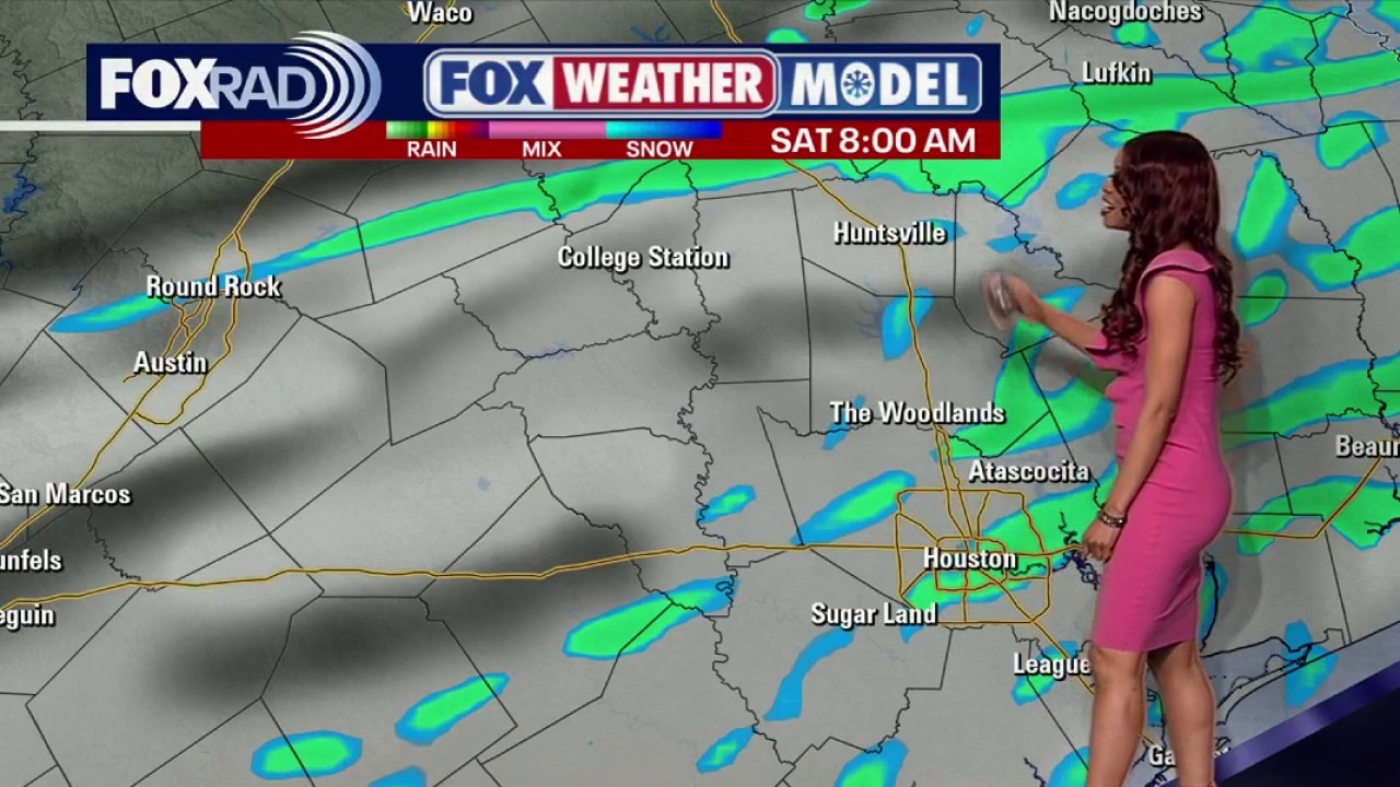
Weekend front brings rain, then cooler air
A cold front moves through the region on Saturday.
Expect scattered showers and perhaps a few isolated thunderstorms as the boundary pushes toward the coast.
The good news is that severe storms are not expected and much of the rain will be on the lighter side and spotty. So you should be able to carry on with your weekend outdoor plans without too many issues.
Jacket weather to start next week then heating up

Behind this front, we can expect three chilly mornings Sunday through Tuesday before a warming trend returns later next week.
Temperatures will dip to the upper 40s Sunday morning, followed by a drop to the low 40s Monday and Tuesday morning. Afternoon temperatures will be near average, starting off in the middle 60s then climbing to around 70 on Tuesday.
Chilly air won't last long because we are back to around 80 on Wednesday & Thursday. Enjoy the slightly cooler temperatures while we have them because our extended forecast looks warm.
The Source: Your Gulf Coast Weather Authority