Houston-area weather forecast: Stormy morning possible, decreasing clouds in the afternoon
Models are showing more showers and storms around 4-6 AM and another possible round by 8-9 AM just ahead of the cold front. Severe risk tonight is highest in our northern counties at 2/5 with a 1/5 threat in the southern areas. Large hail, 60-70 MPH winds and heavy downpours will be the main threats. However, there is a 2-5% tornado threat as well so stay alert! We should dry out behind the front Thursday afternoon and evening. Friday looks bright and lovely but Saturday is trending wetter. Look for a decent shot for rain for a big chunk of Saturday, winding down early Sunday. Make sure to keep track of all the changing weather by downloading the FOX 26 Weather App on your phone!
Top Videos
Houston-area weather forecast: Stormy morning possible, decreasing clouds in the afternoon
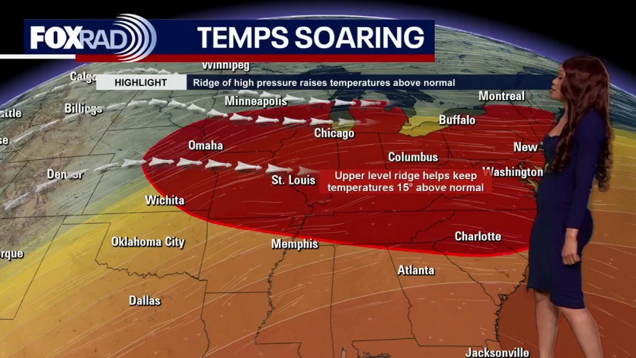
Houston weather: Warmer temperatures on the way this week
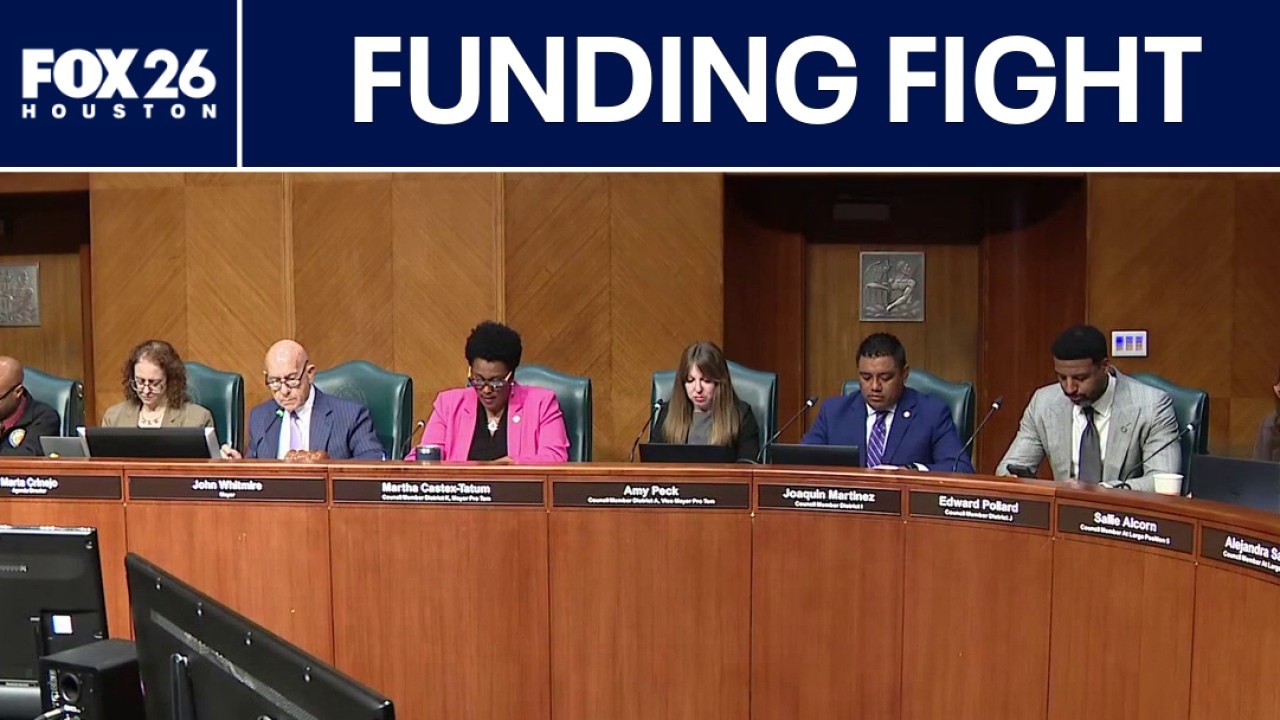
Public safety funding fight underway
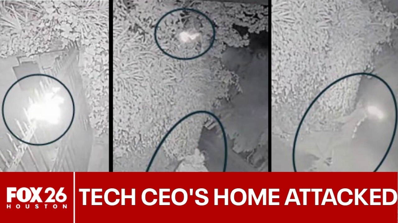
Houston-area man charged in attack on home of tech CEO

FULL VIDEO: San Francisco authorities announce charges against Texas man
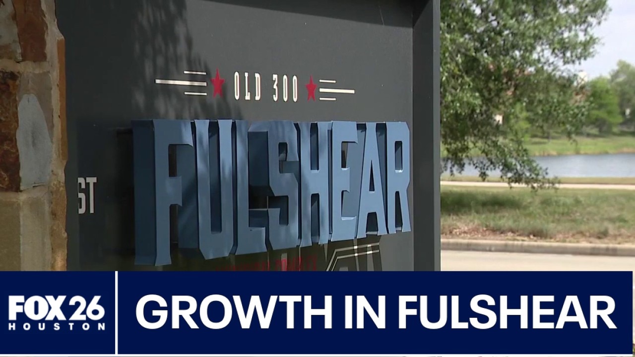
Fulshear seeing rapid growth

3 defendants featured in Breaking Bond reports wanted again

Fleet Week begins on Wednesday

Houston-area scam impersonates fake deputy

Family finds man dead inside Spring home

'Tour de Houston' takes over downtown

US-Iran talks fail, new HPD-ICE policy, FLOTUS denies Epstein ties, and more | What's Your Point?
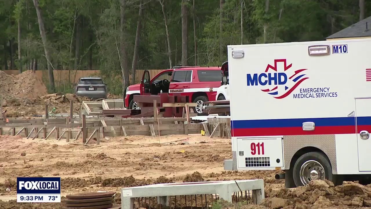
1 dead, 1 injured in Conroe trench collapse
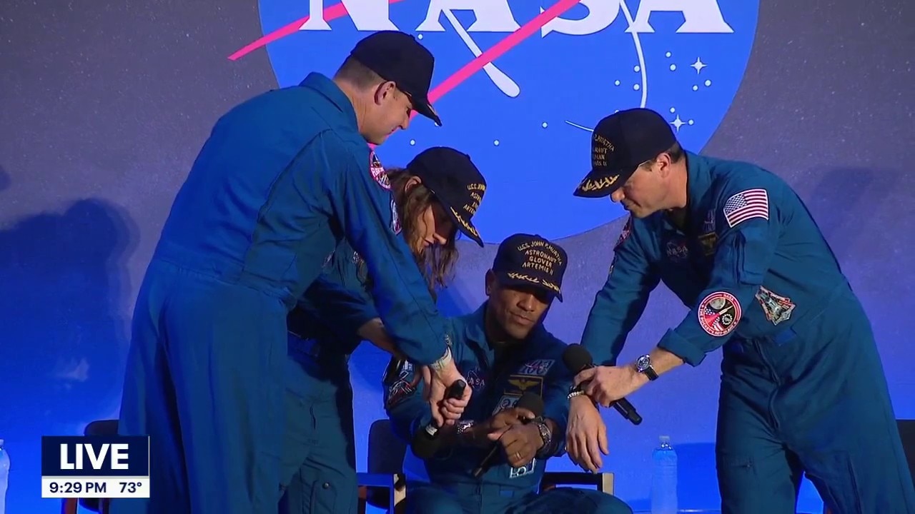
Artemis II crew speaks in Houston after returning home
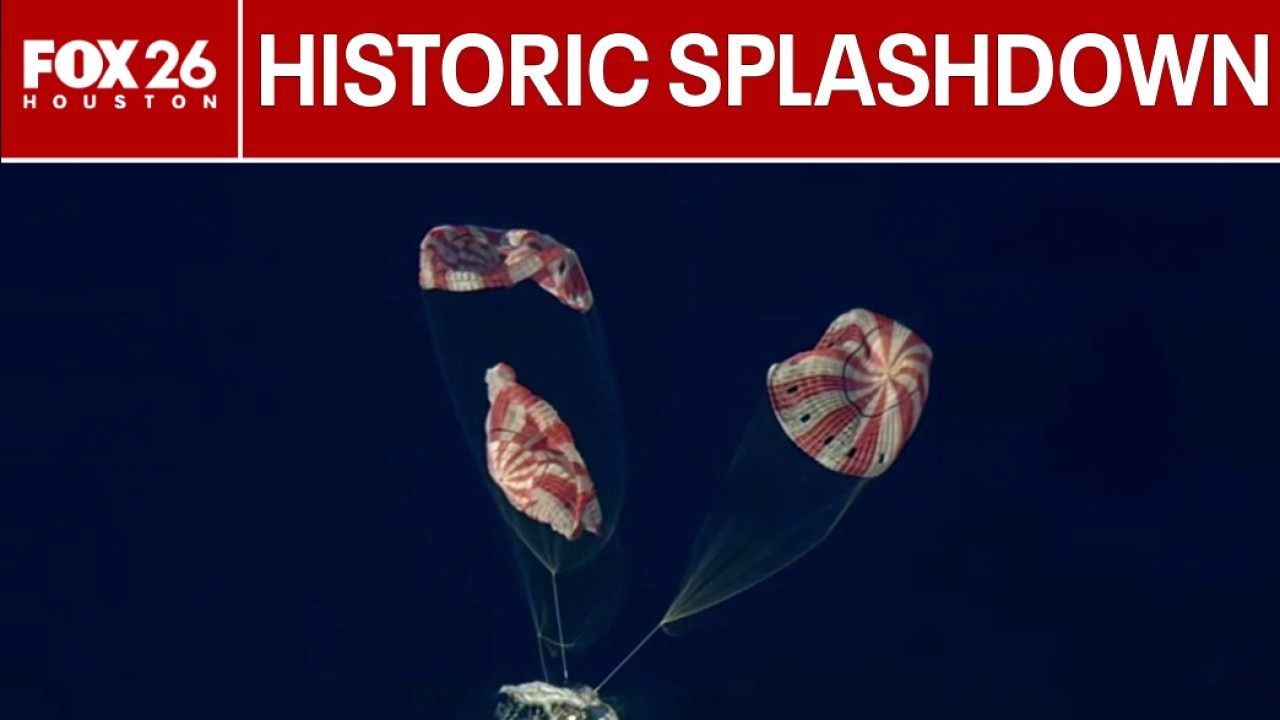
Artemis II splashes down in Pacific Ocean

FBI raids Spring, Texas home of suspect in attack at Sam Altman's house

Limited Edition Art & Antiques | Small Business Spotlight
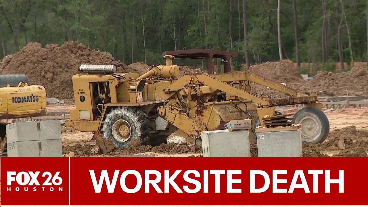
Deadly Conroe trench collapse to be investigated

Trench collapse kills 1 at Conroe construction site
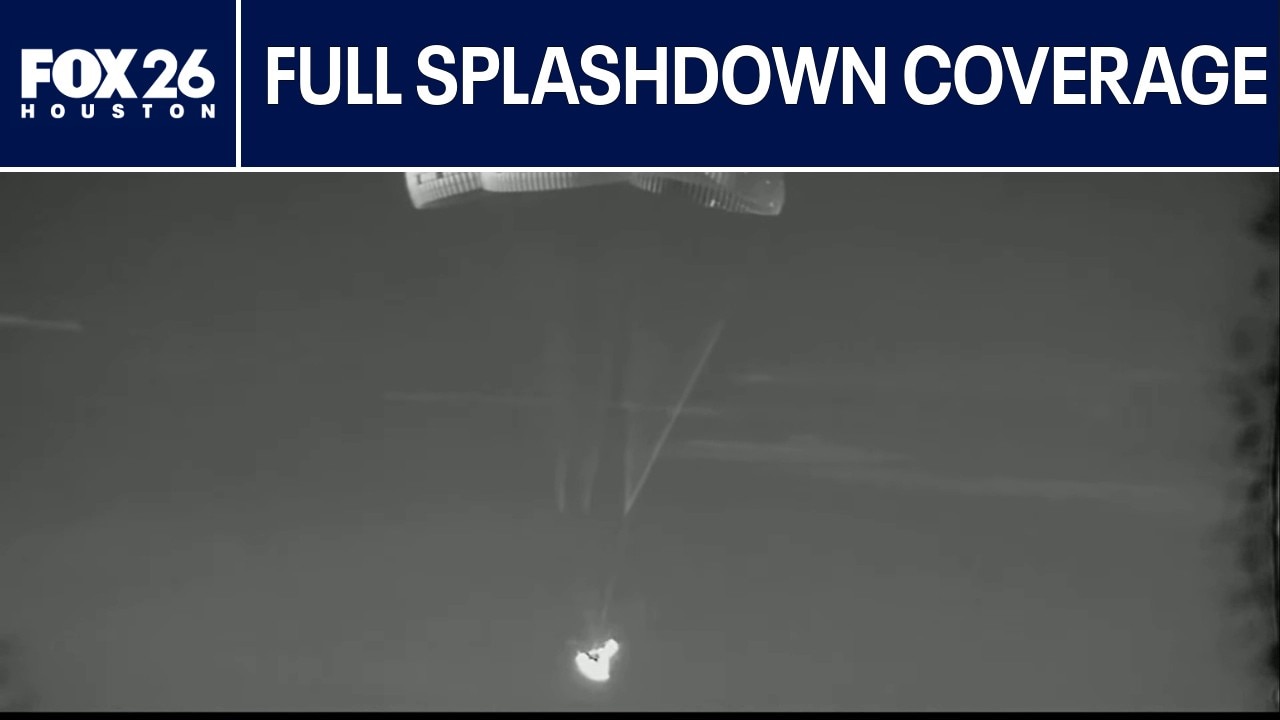
FULL VIDEO: Artemis II Splashdown coverage

FULL NEWS CONFERENCE: Artemis II Post-Splashdown news conference

Artemis II crew exits Orion after splashdown
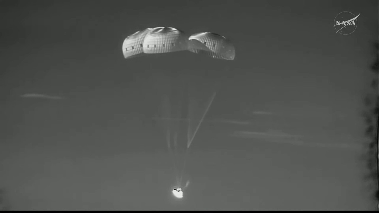
Artemis II: Full return to Earth
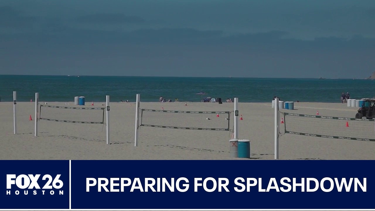
Artemis II crew set to splash down soon
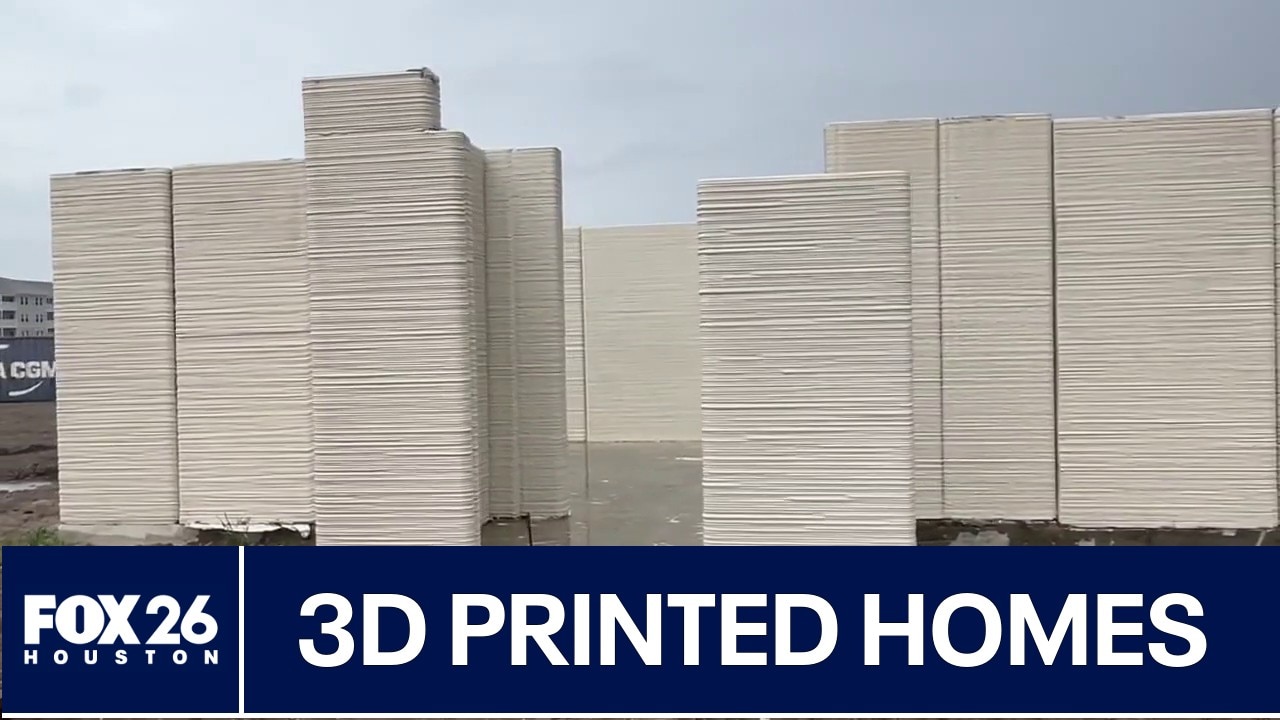
Houston company making 3D printed homes