Cold front expected to roll in Friday evening, temps in 80s
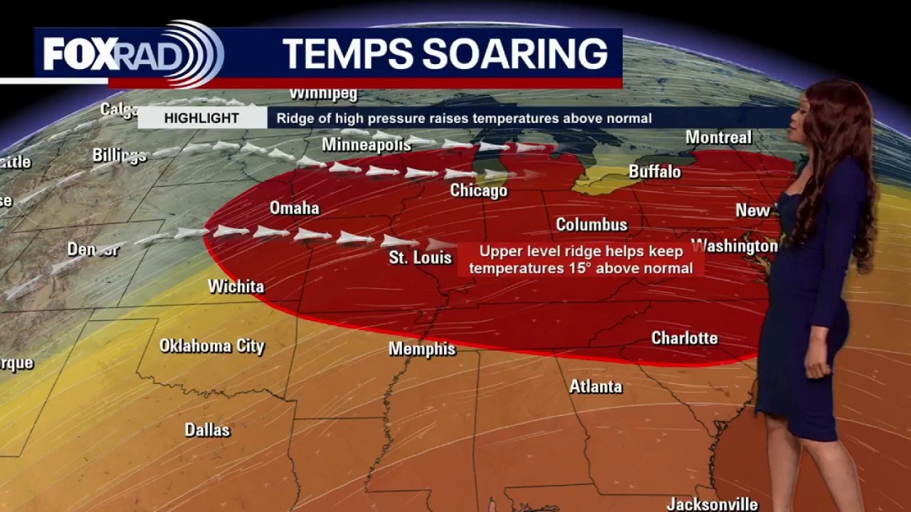
Cold front will bring in a small chance for a few strong storms through early tonight. Best chance will be north of Houston up around Conroe, Livingston, & Huntsville between 6-9 PM. An isolated damaging wind gust and some hail will be possible, along with frequent lightning and heavy downpours. Major tornado outbreak will remain to our NE up around Little Rock, Memphis, Des Moines, Cedar Rapids & St. Louis. Storms will try to push down into Houston around 10-11 PM but will likely be much weaker. Cold front will build in and bring in lower humidity for Saturday. Temperatures though will still be very warm in the upper 80s. Look for another round of storms possible Sunday afternoon and evening. We are near 90 Monday and Tuesday with another cold front set to arrive by the middle of next week. That will mean more showers and storms along with some slightly cooler air.
Top Videos
Cold front expected to roll in Friday evening, temps in 80s
Houston weather: Warmer temperatures on the way this week
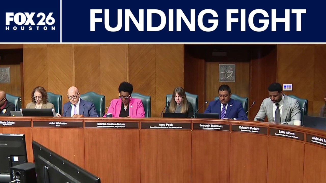
Public safety funding fight underway
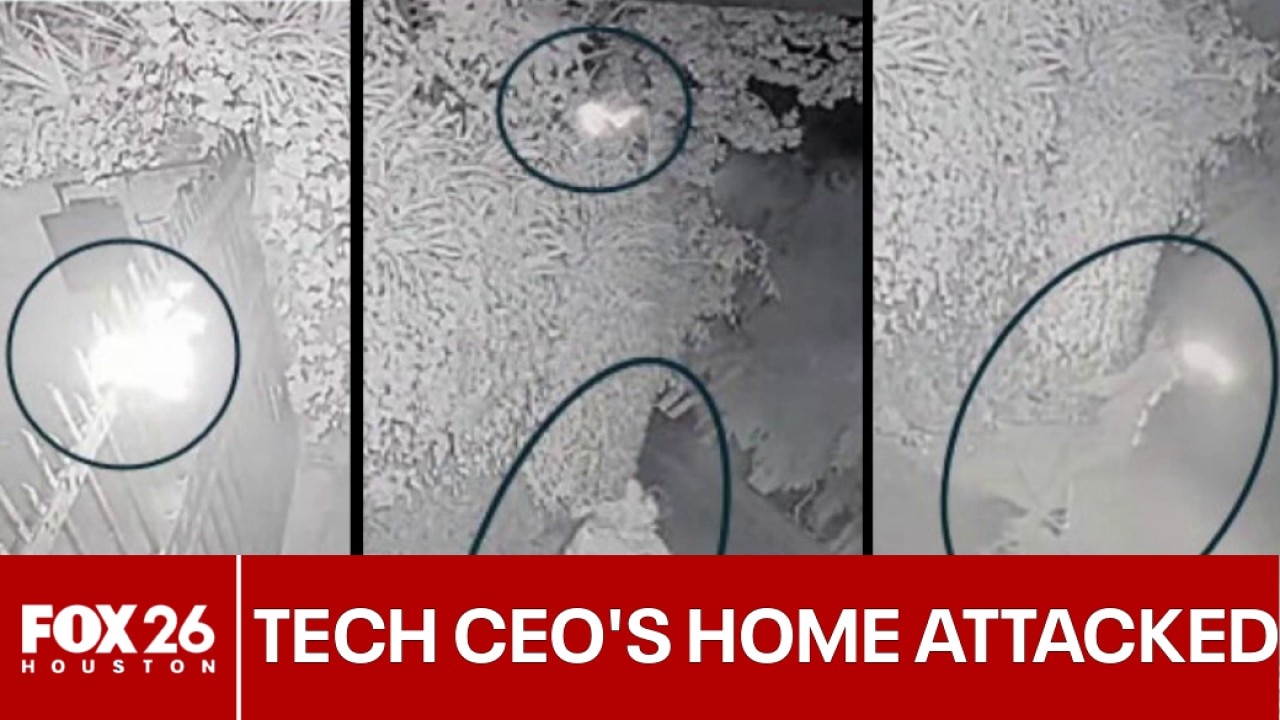
Houston-area man charged in attack on home of tech CEO

FULL VIDEO: San Francisco authorities announce charges against Texas man
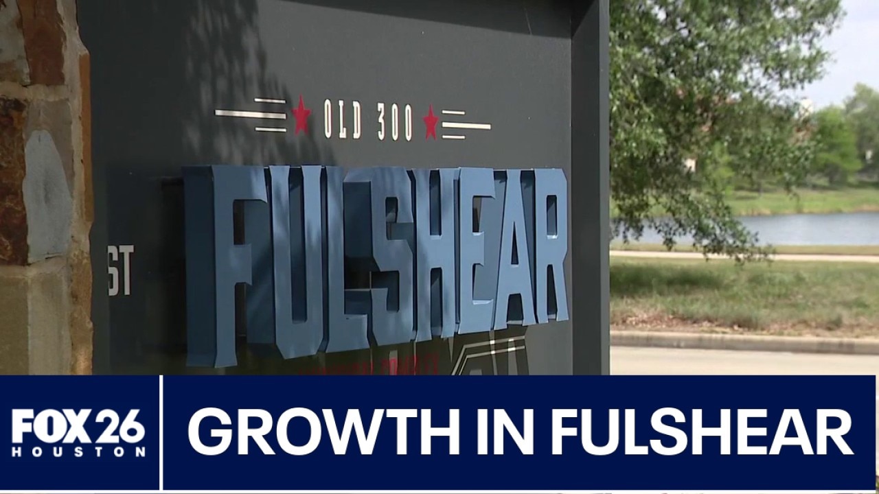
Fulshear seeing rapid growth

3 defendants featured in Breaking Bond reports wanted again
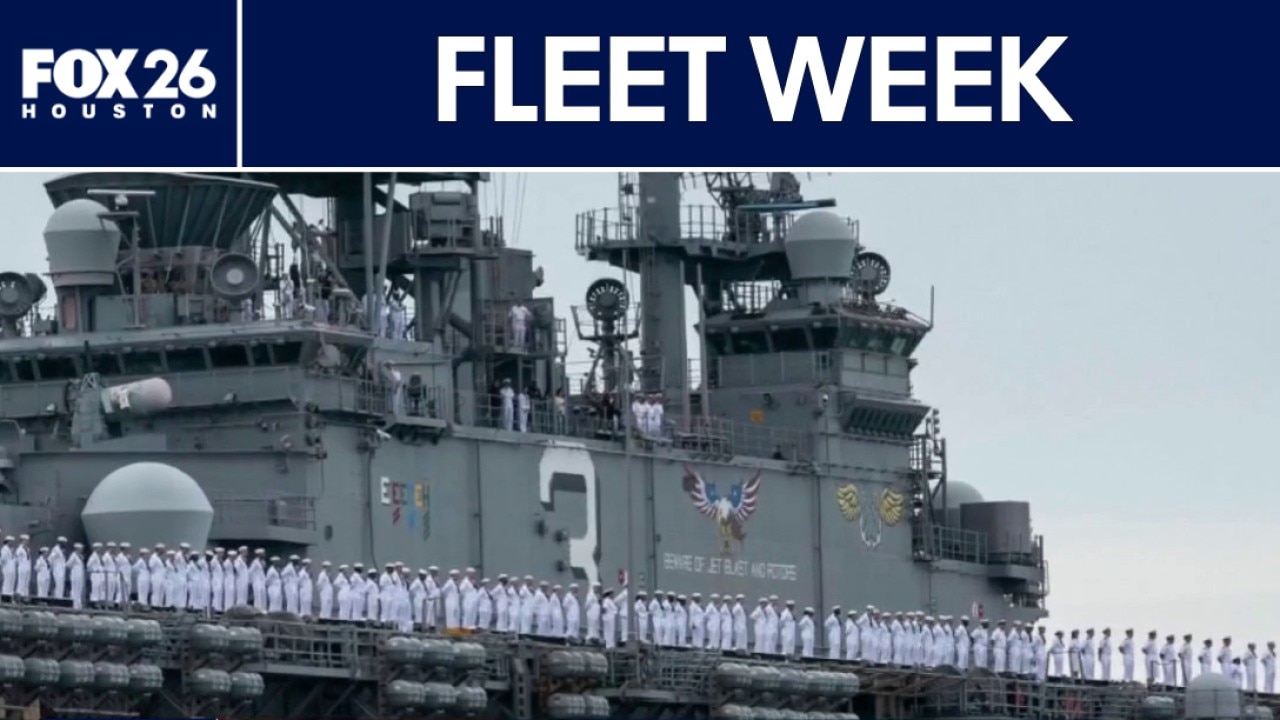
Fleet Week begins on Wednesday

Houston-area scam impersonates fake deputy
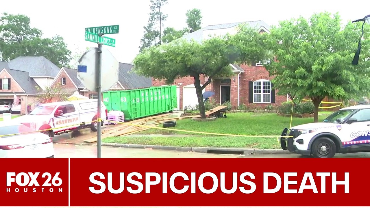
Family finds man dead inside Spring home

'Tour de Houston' takes over downtown

US-Iran talks fail, new HPD-ICE policy, FLOTUS denies Epstein ties, and more | What's Your Point?
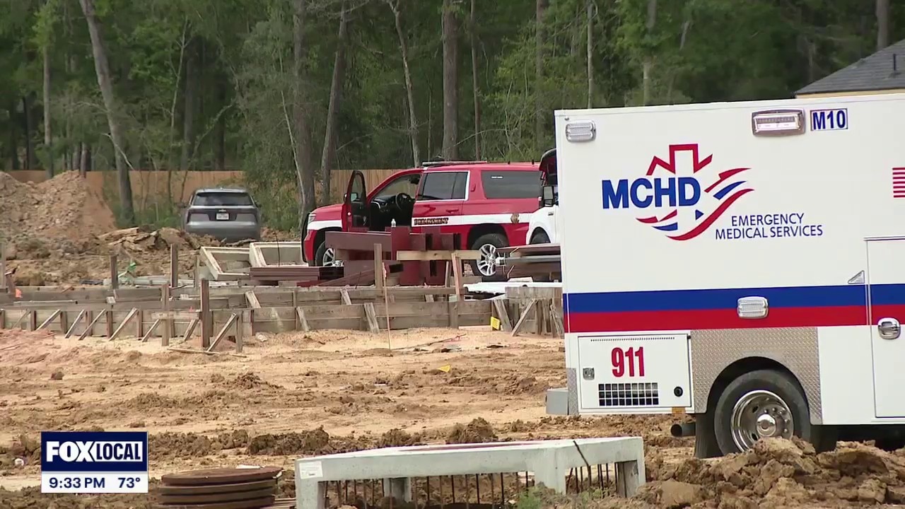
1 dead, 1 injured in Conroe trench collapse
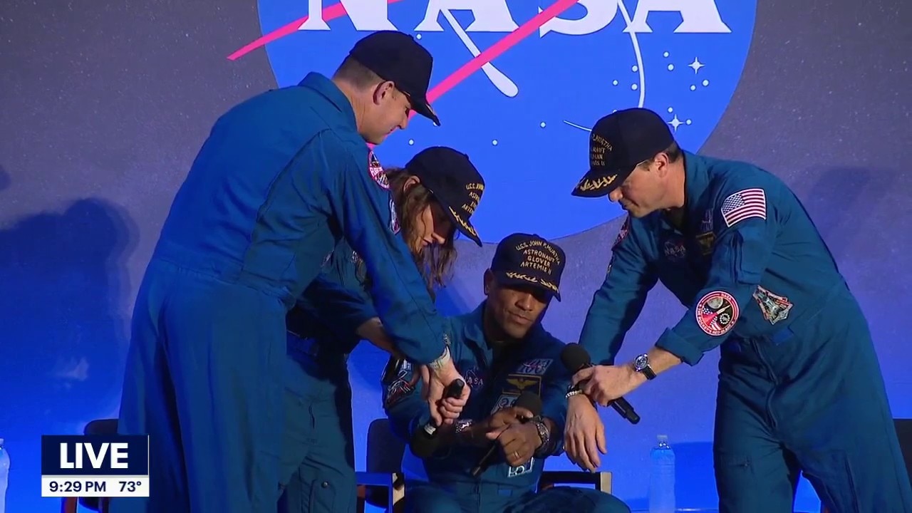
Artemis II crew speaks in Houston after returning home

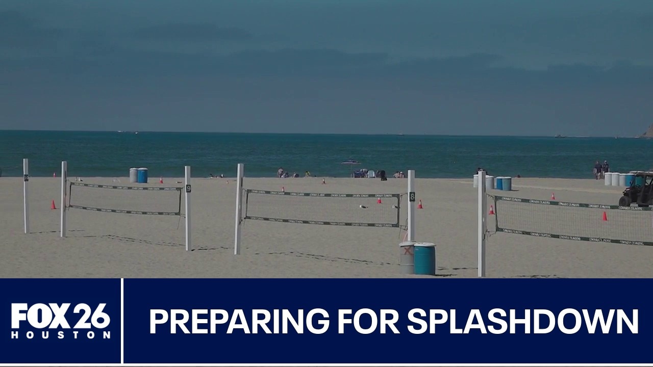
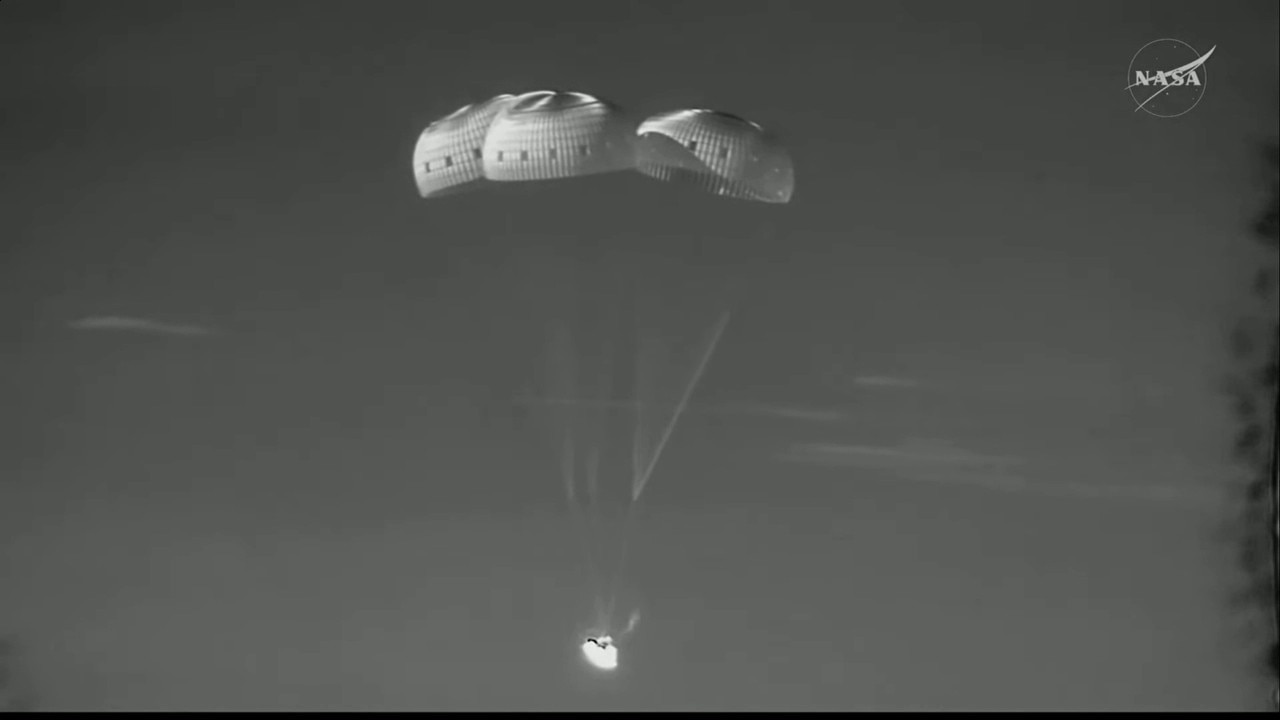
Artemis II splashes down in Pacific Ocean
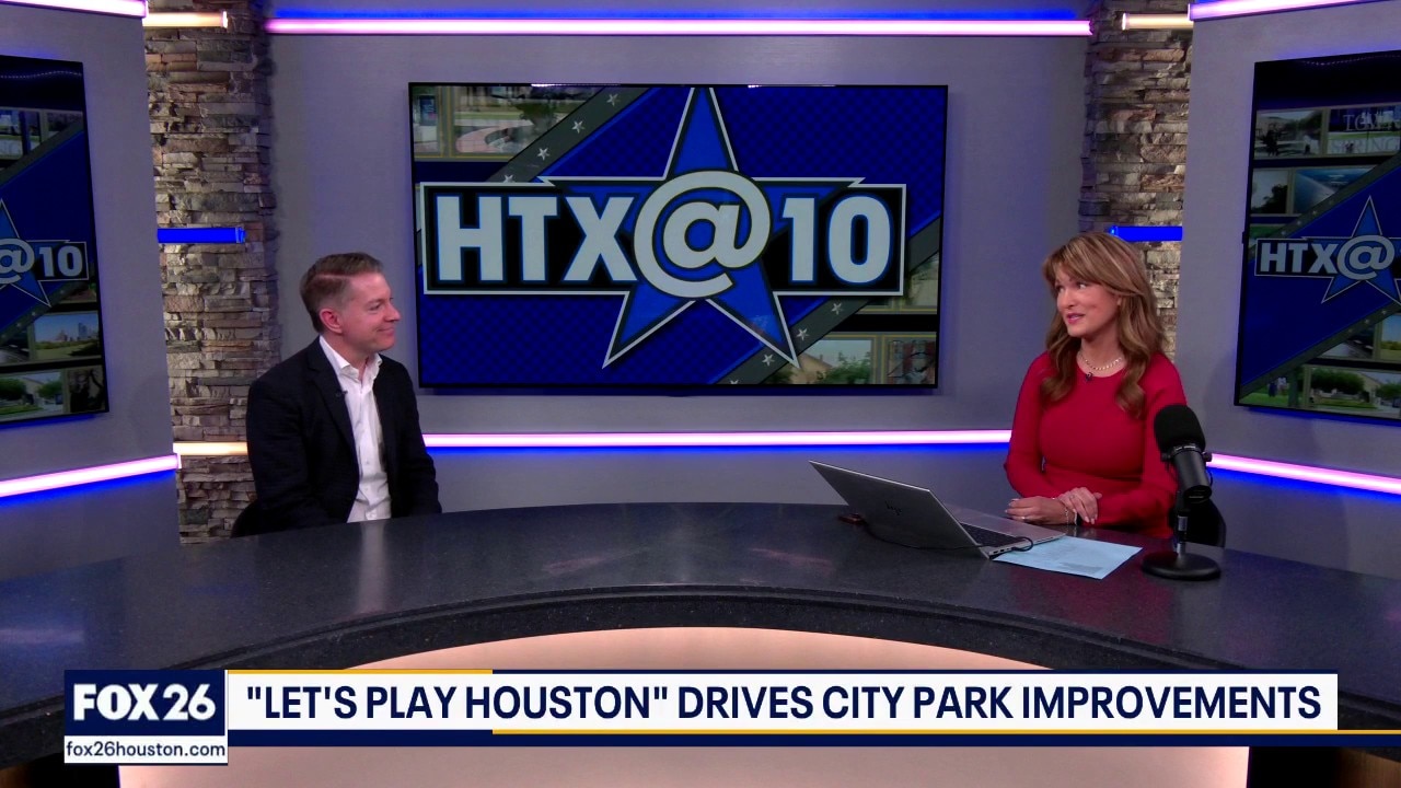
Let's Play Houston' drives city park improvements
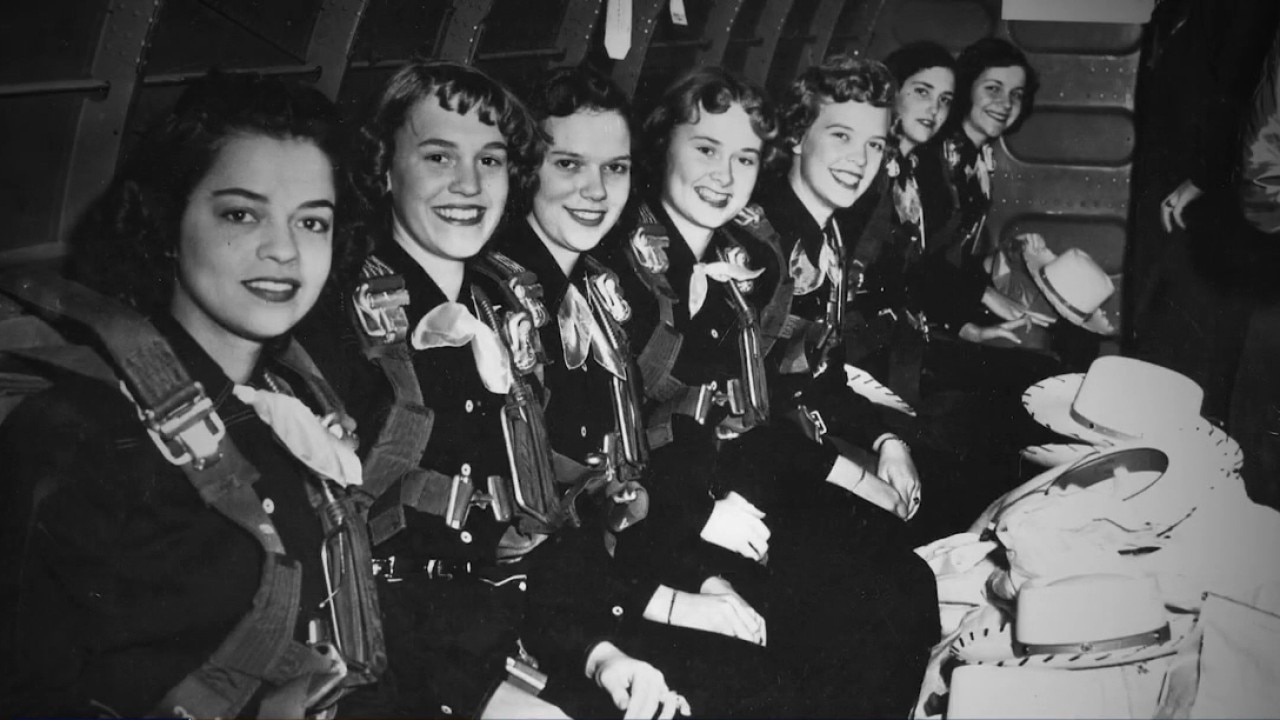
'Melody Maids' documentary coming to River Oaks Theatre
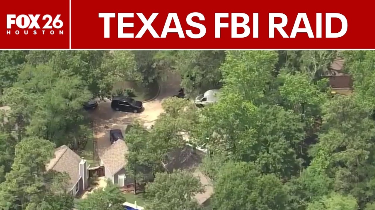
FBI raids Spring, Texas home of suspect in attack at Sam Altman's house

Limited Edition Art & Antiques | Small Business Spotlight
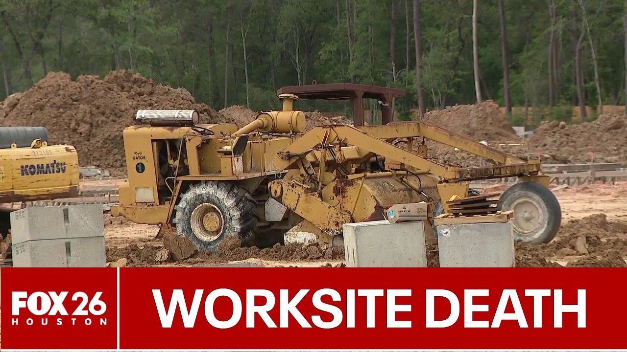
Deadly Conroe trench collapse to be investigated
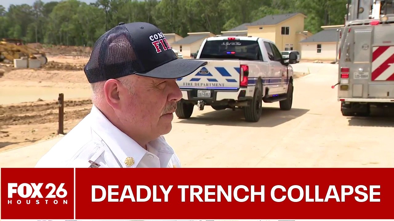
Trench collapse kills 1 at Conroe construction site
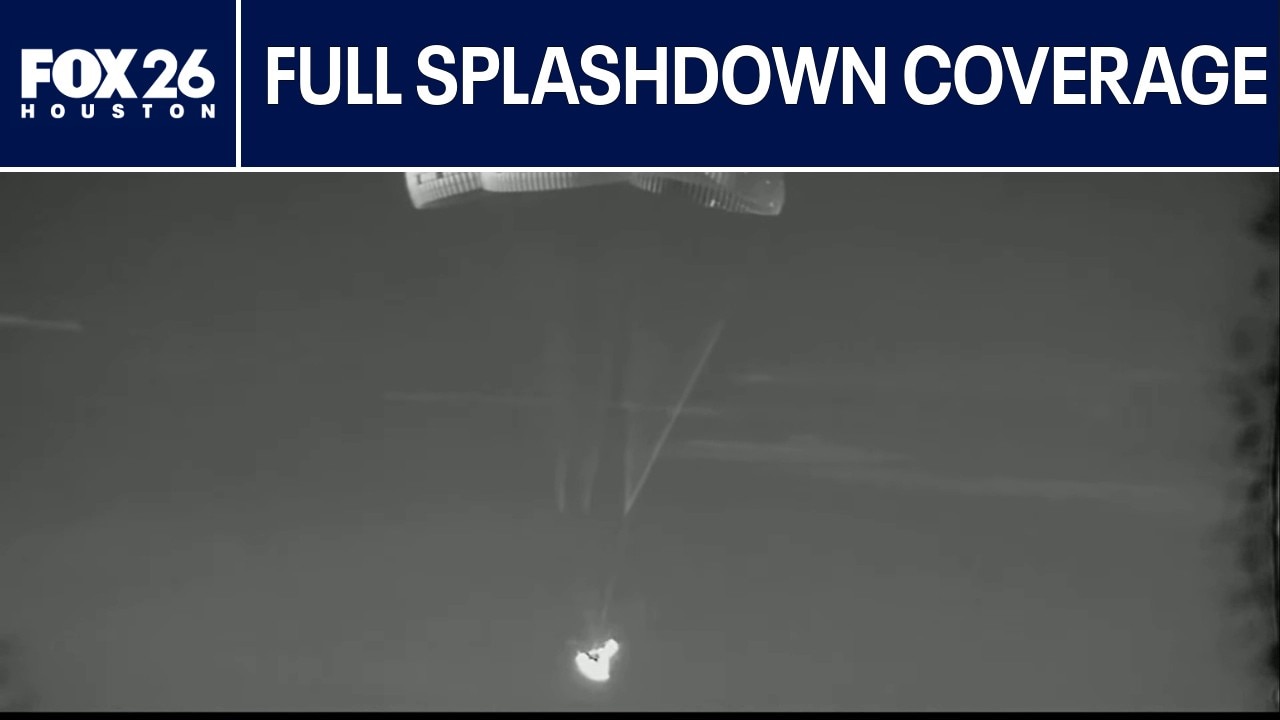
FULL VIDEO: Artemis II Splashdown coverage

FULL NEWS CONFERENCE: Artemis II Post-Splashdown news conference
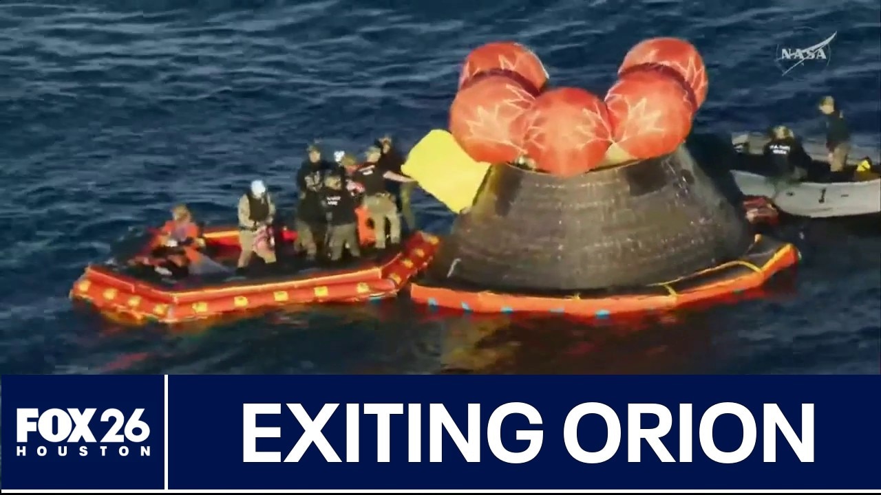
Artemis II crew exits Orion after splashdown
Artemis II: Full return to Earth